A collection of research projects presented by GIS students from the Department of Geographic Information Science.
Department of Geographic Information Science
Leading personalized geospatial education
The Department of Geographic Information Science at the University of Redlands offers you a personalized GIS education in beautiful Redlands, California, home to the world's leading GIS company, Esri. We offer B.A. and B.S. degrees in GIS, a Graduate Certificate in GIS, and two master's degrees: an internship-based Master of GIS and a project-based Master of Science in GIS. All of the graduate courses are offered both online and in-person, in the evenings. With five full-time faculty, we are able to offer coursework in WebGIS, Geographic Database Management Systems, Remote Sensing, Geospatial Analysis, Cartography & Geovisualization, Projections & Coordinate Systems, and several other areas. All students are able to attend the annual Esri Developer & Technology Summit in Palm Springs, as well as the annual Esri User Conference in San Diego, at no charge. Graduate students receive ~20 days of Esri Instructor-Led training.
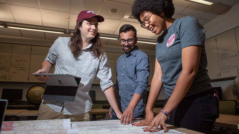
Our students include professionals currently employed in any field using geographic information and recent university graduates who would like to begin a career in a GIS-related field. With the balanced curriculum and strong technical support, the students gain substantial intellectual growth in an open learning environment. Many of our alumni are leading applications specialists, applications software developers, and project managers in various private and public organizations.
Why study GIS at Redlands

Why study GIS at Redlands
Redlands GIS faculty members bring in-depth and contemporary knowledge of GIS and years of practical experience from their field. The classes they teach emerge from their unique research and practices, and they’re passionate about what they’re sharing. At Redlands, faculty are invested in and committed to your success.
Redlands relentlessly equips our students to advance their career AND make a difference. Whether through addressing environmental sustainability, advancing disaster response, or reshaping urban planning, our GIS programs prepare our graduates to make a real-world impact.
Redlands is redefining GIS education by integrating geospatial studies across disciplines, from humanities (e.g., historical mapping) to sciences (e.g., data science and biology) and business (e.g. strategic business expansion and risk management). This interdisciplinary approach enables students to apply spatial thinking and GIS to virtually any field, making them versatile and highly employable.
Gain hands-on experience with key Esri technologies and learn from and network with senior leaders and seasoned Esri professionals. Our students also receive unparalleled access to Esri’s Virtual Campus courses, along with exclusive opportunities to engage with Esri software, technical resources, libraries, events, conferences, and expert speakers.
Explore our degree programs
GIS Majors
GIS-driven programs with mentorship, real-world problem solving, and a strong Esri connection.
Spatial Studies Minor
The spatial studies minor is intentionally designed to complement any major as demand rises for professionals who can think spatially.
Graduate Programs
Highly acclaimed GIS master’s and graduate certificate programs.
Accelerated Pathway
An internal GIS pathway program that allows you to earn a master’s degree in GIS within a year of completing your undergraduate degree.
Where are Redlands graduates now


Student Testimonial
“I chose Redlands because I felt like it would give me the best education. I wanted to be challenged and really drive into the science of GIS, not just learn the software. I haven't been disappointed. The program has a great mix of full-time faculty, as well an amazing group of adjunct faculty who work at Esri during the day. With that mix we get the unique opportunity to learn the underlying science of GIS at a deep level, as well as to learn the latest technology trends from people who are developing GIS software on a daily basis."
— Blythe Spendlove ’18, MS GIS
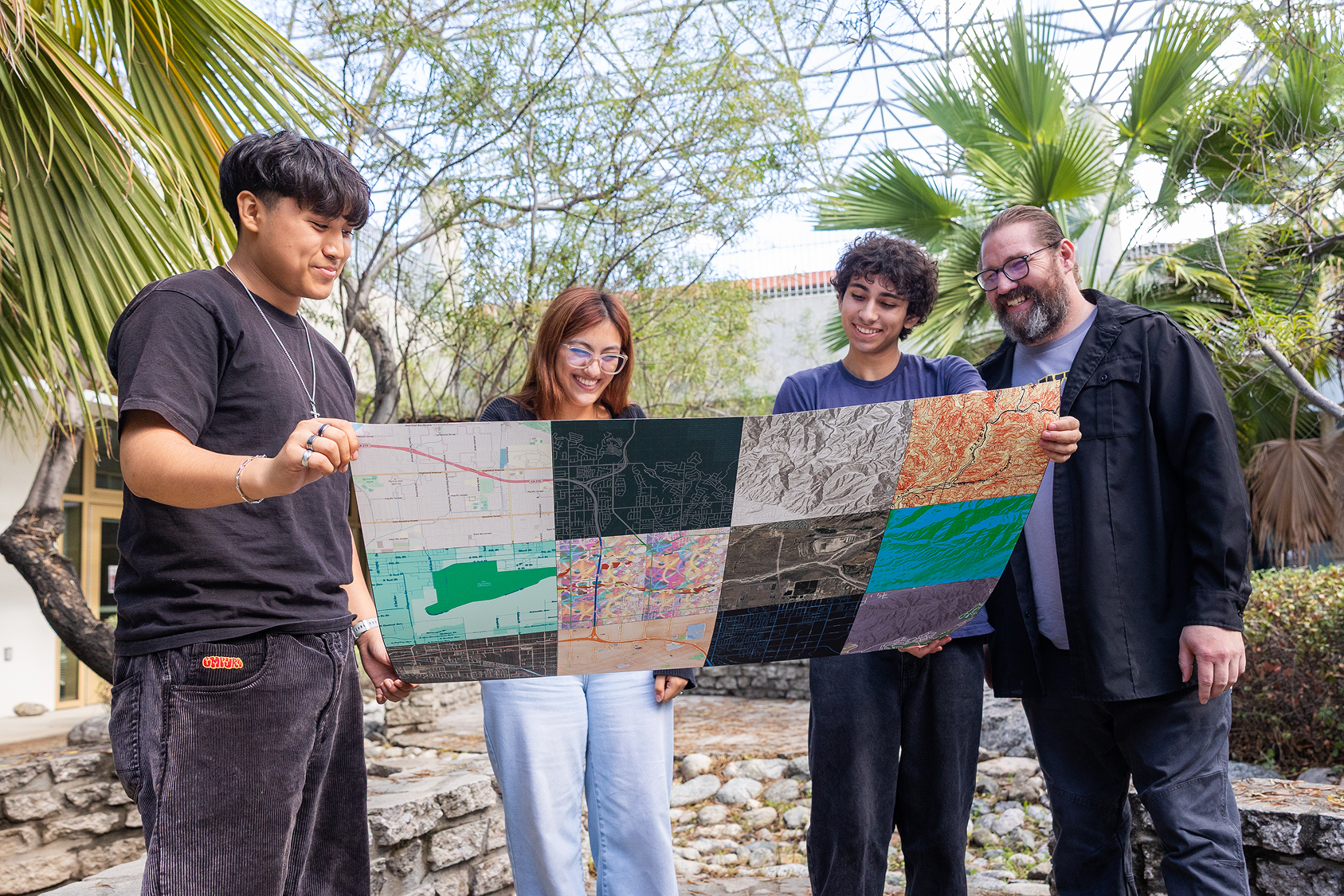
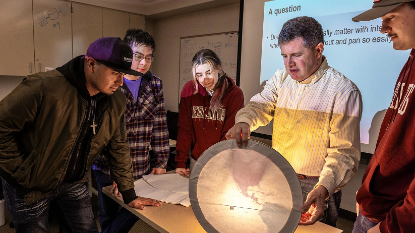
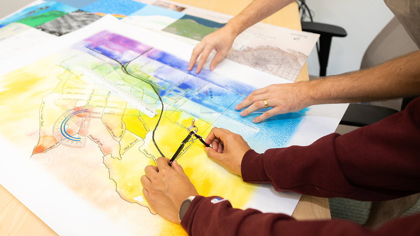
Research projects
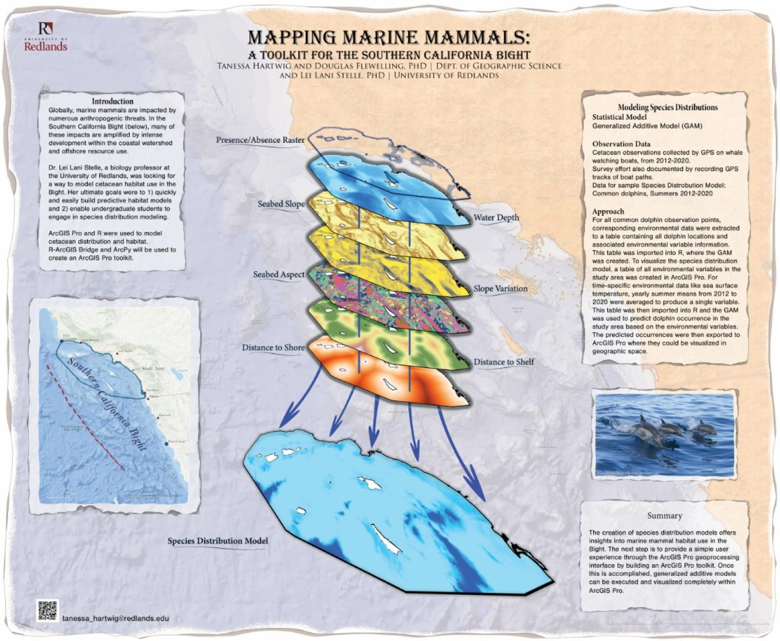
Mapping Marine Mammals: A Toolkit for the Souther California Bight
By Tanessa Hartwig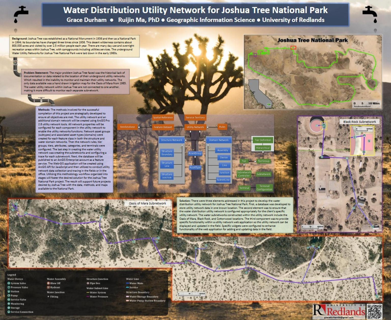
Water Distribution Utility Network for Joshua Tree National Park
By Grace Durham
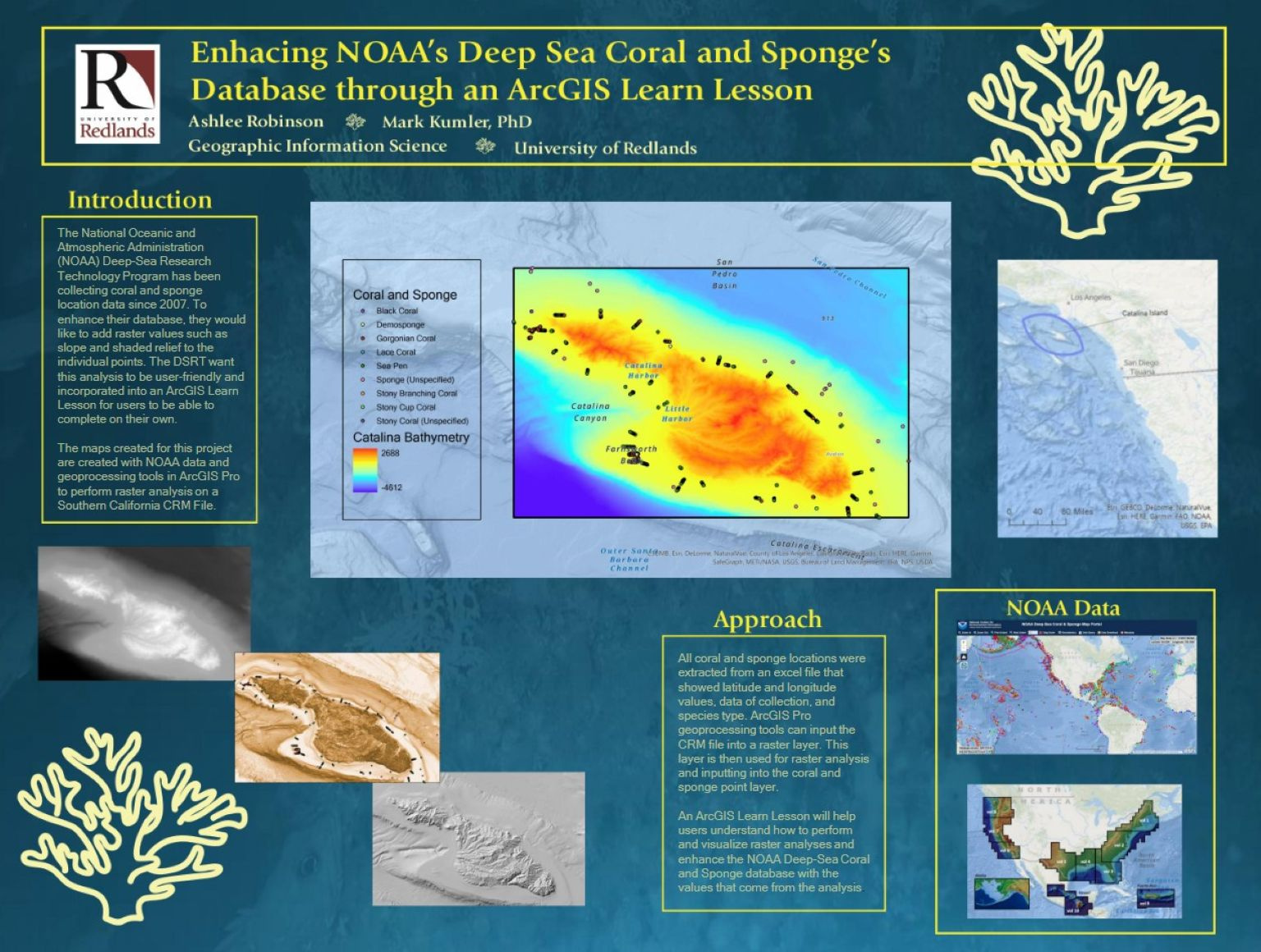
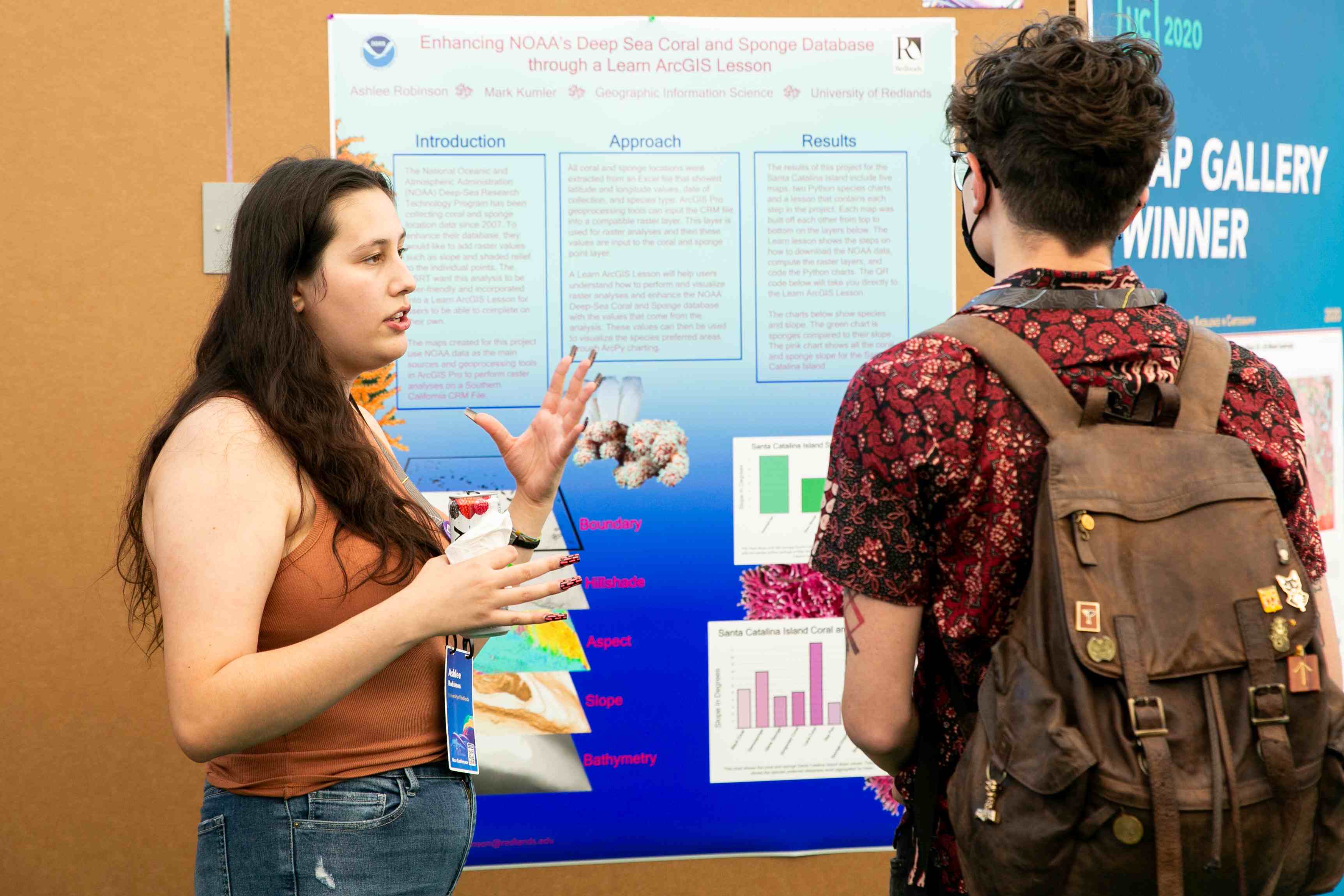
Enhancing NOAA's Deep Sea Coral and Sponge's Database through an ArcGIS Learn Lesson
By Ashlee Robinson
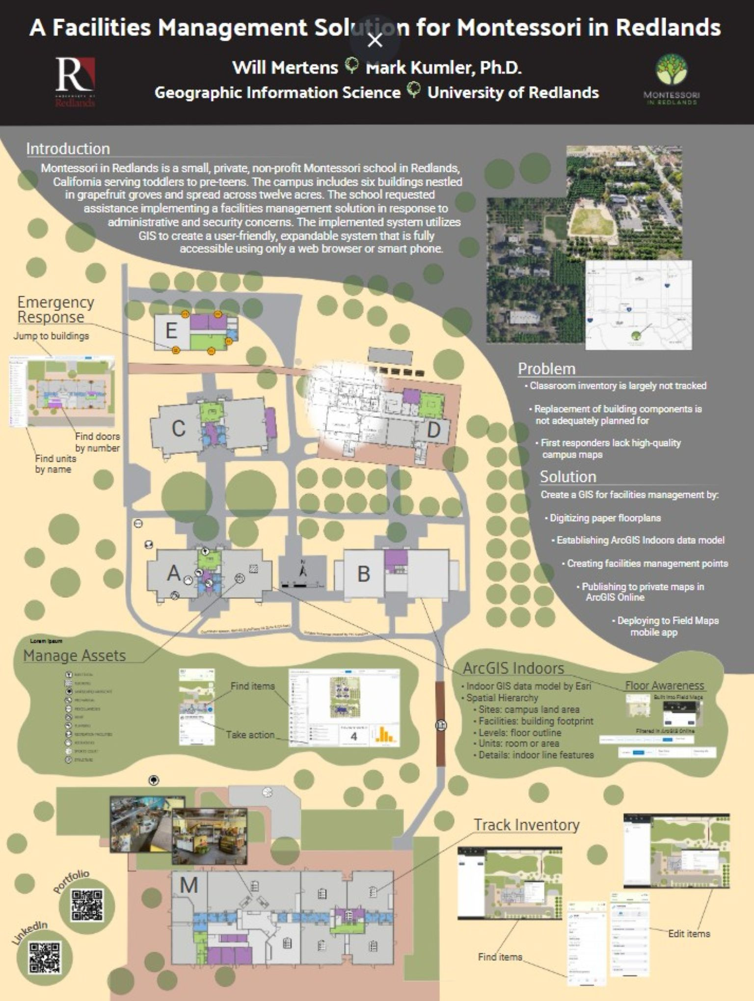
A Facilities Management Solution for Montessori in Redlands
By Will Mertens
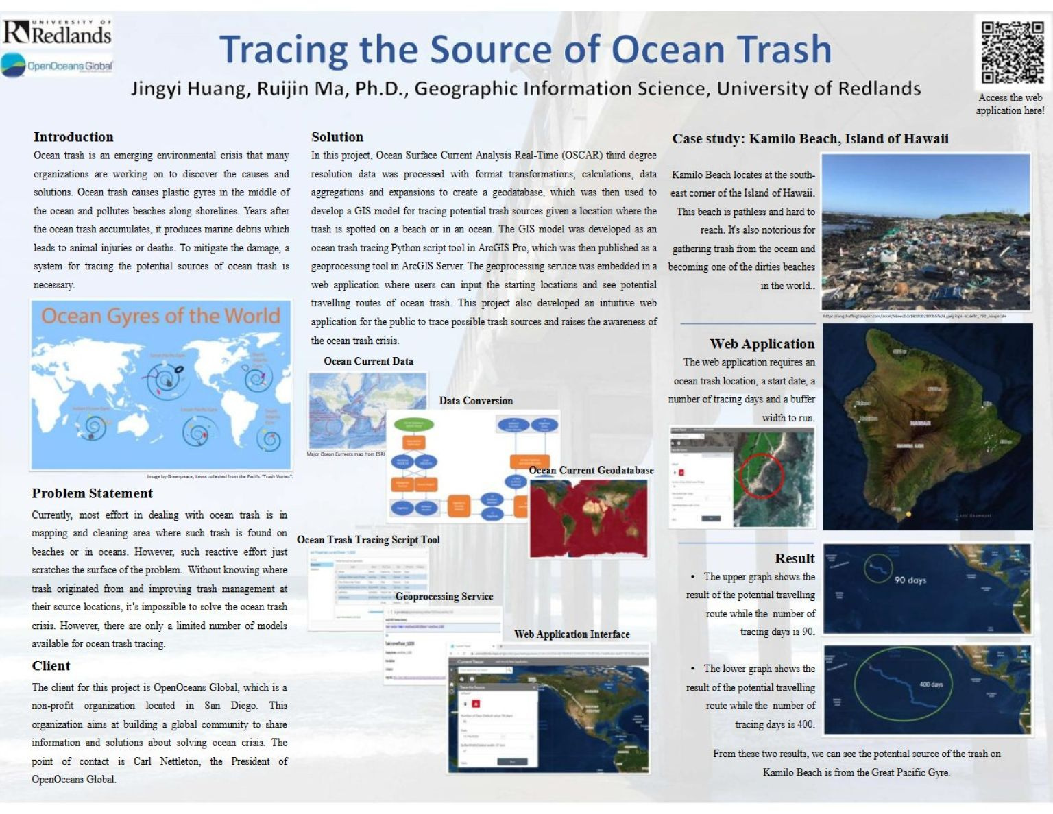
Tracing the Source of Ocean Trash
By Jingyi Huang
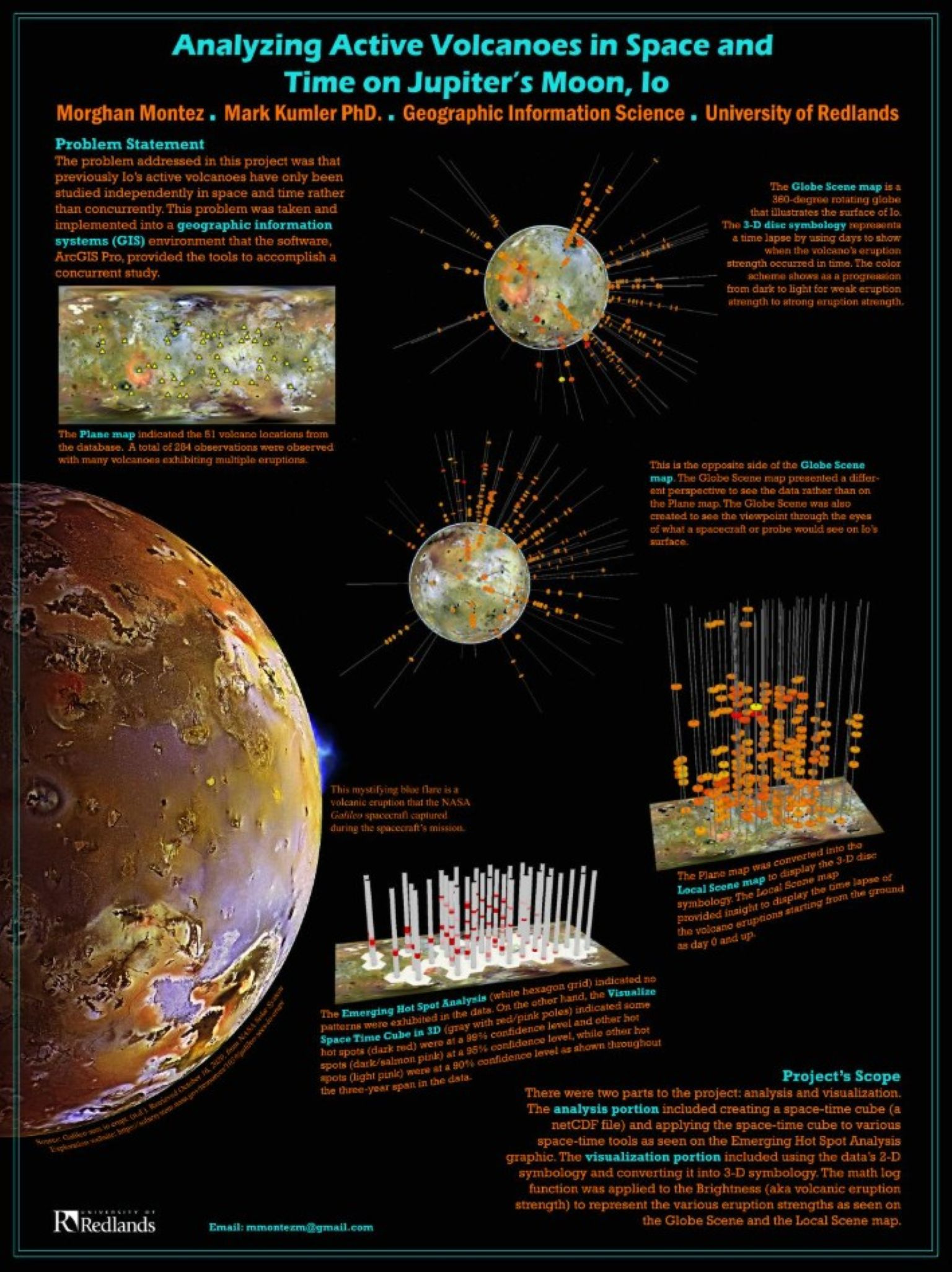
Analyzing Active Volcanoes in Space and Time on Jupiter's Moon
By Morghan Montez
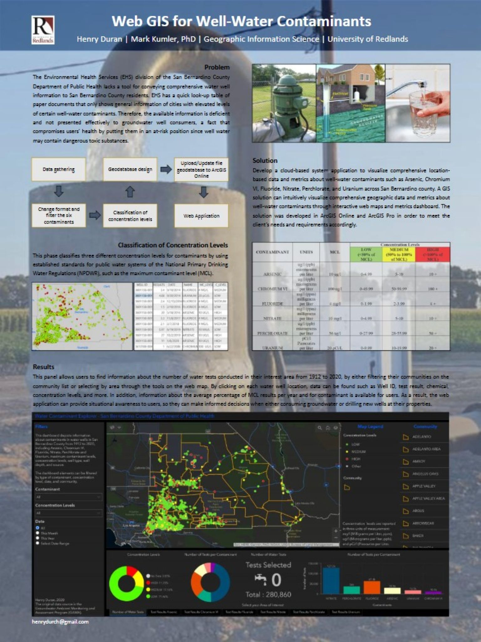
Web GIS for Well-Water Contaminants
By Henry Duran
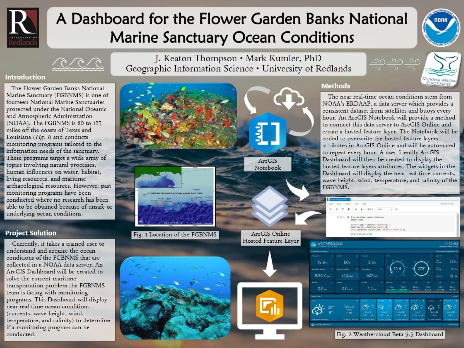
A Dashboard for the Flower Garden Banks National Marine Sanctuary Ocean Conditions
By J. Keaton Thompson
Our community
Student and staff resources
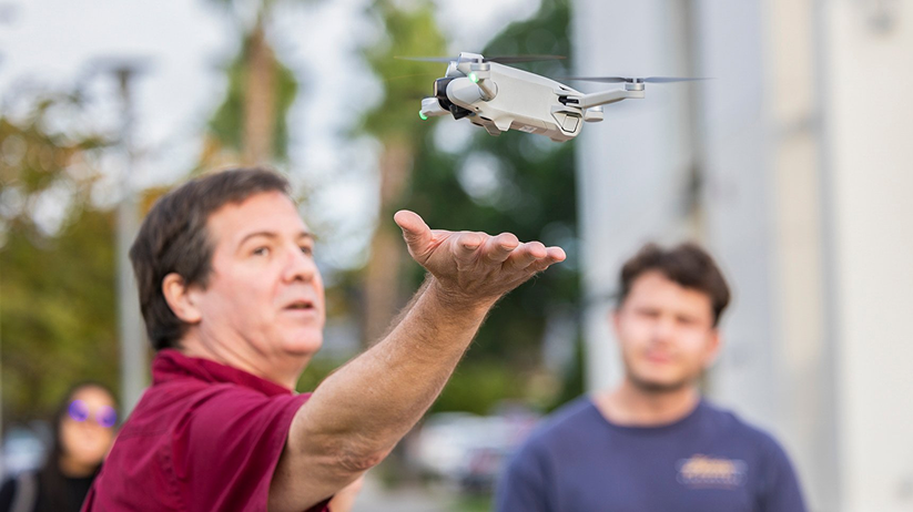
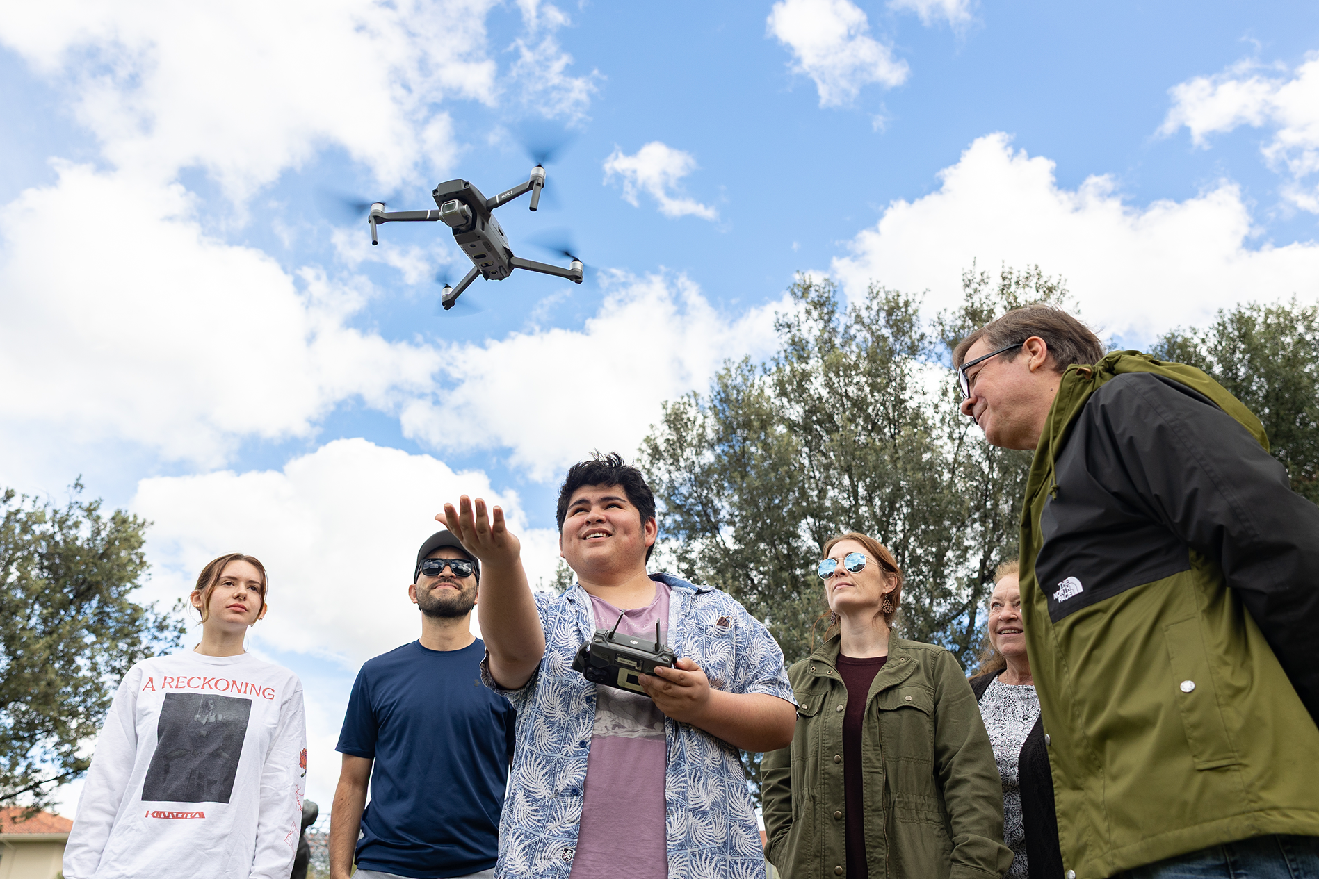
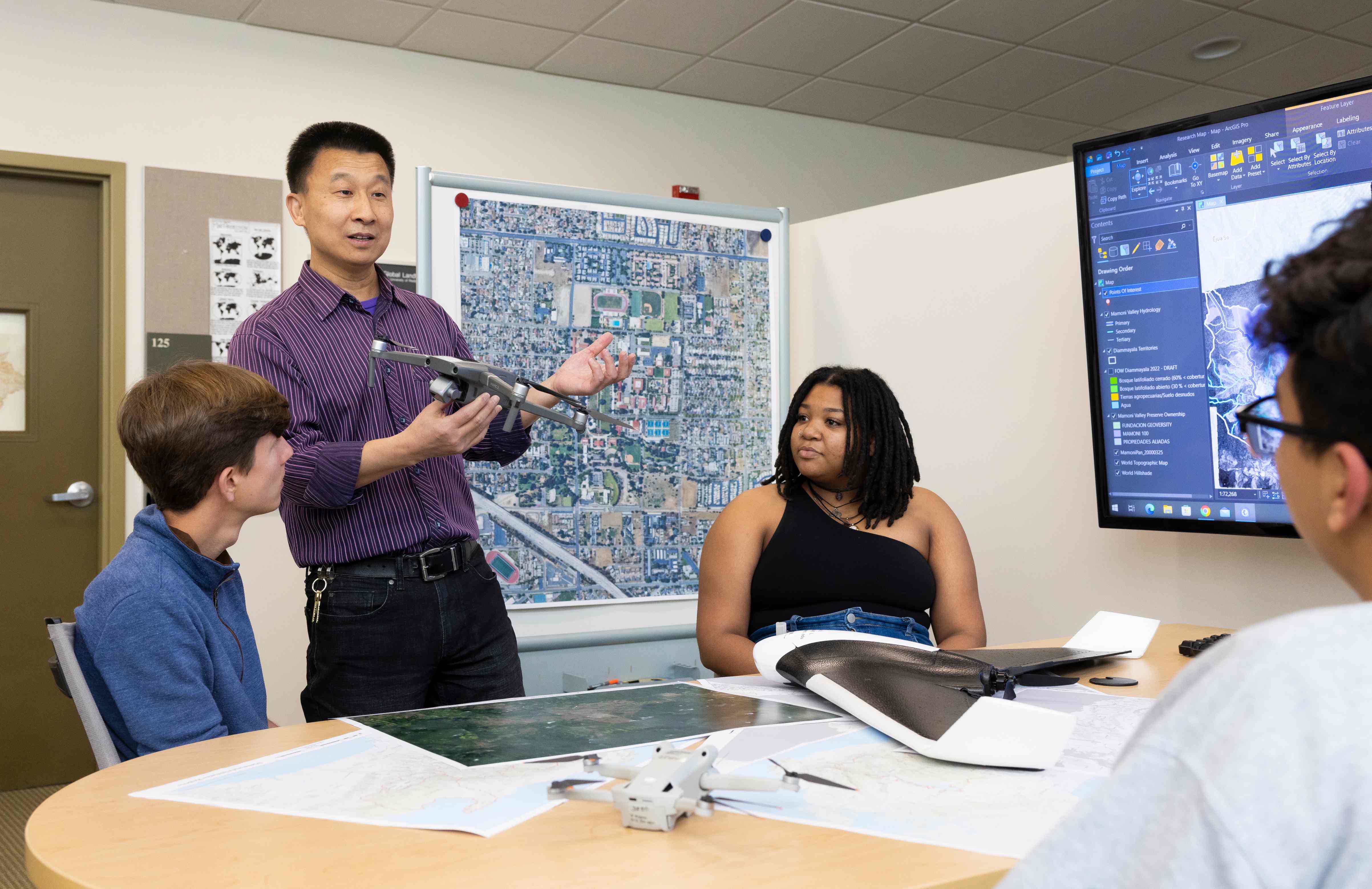
Contact gis@redlands.edu with any questions, including University of Redlands drone policy.
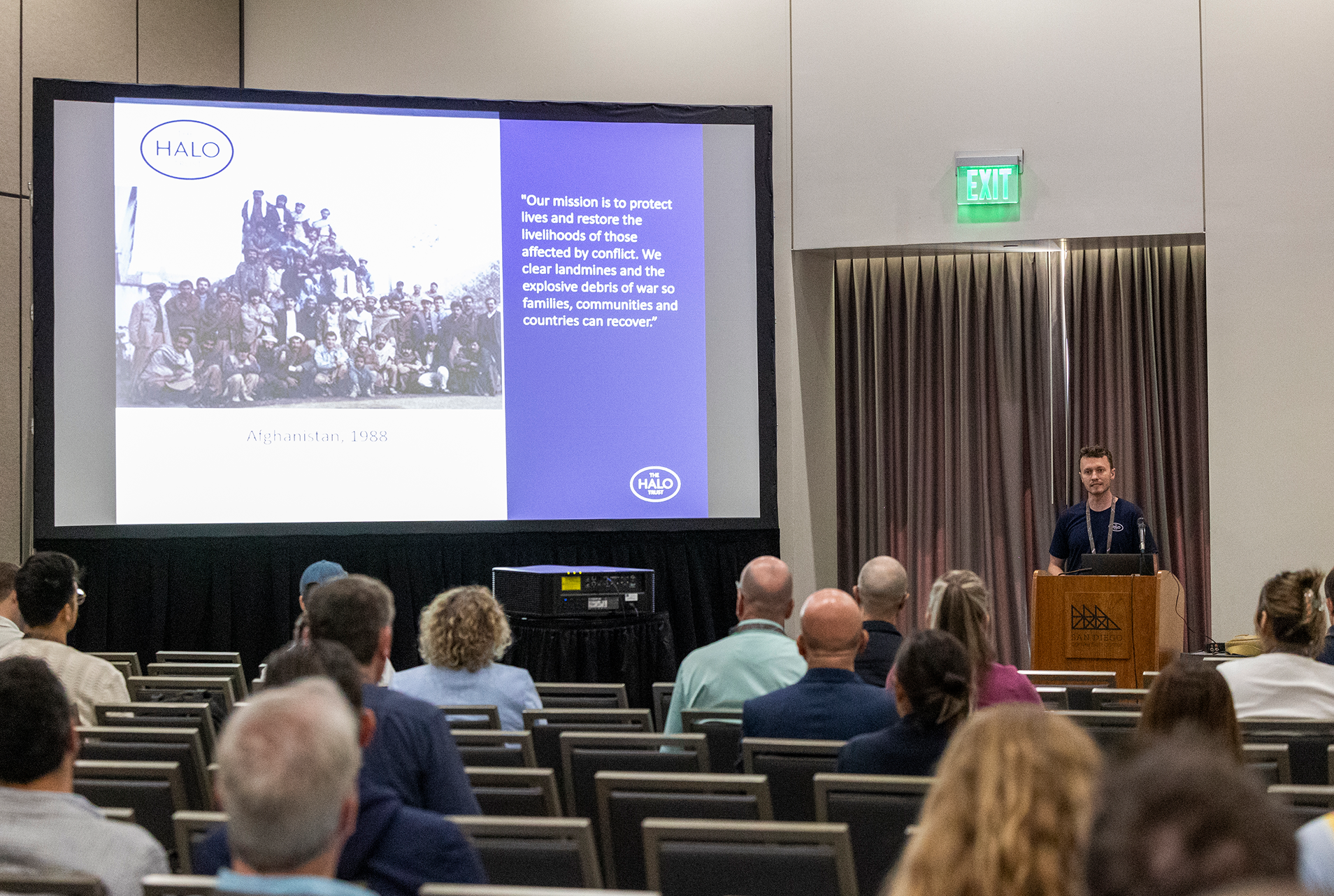
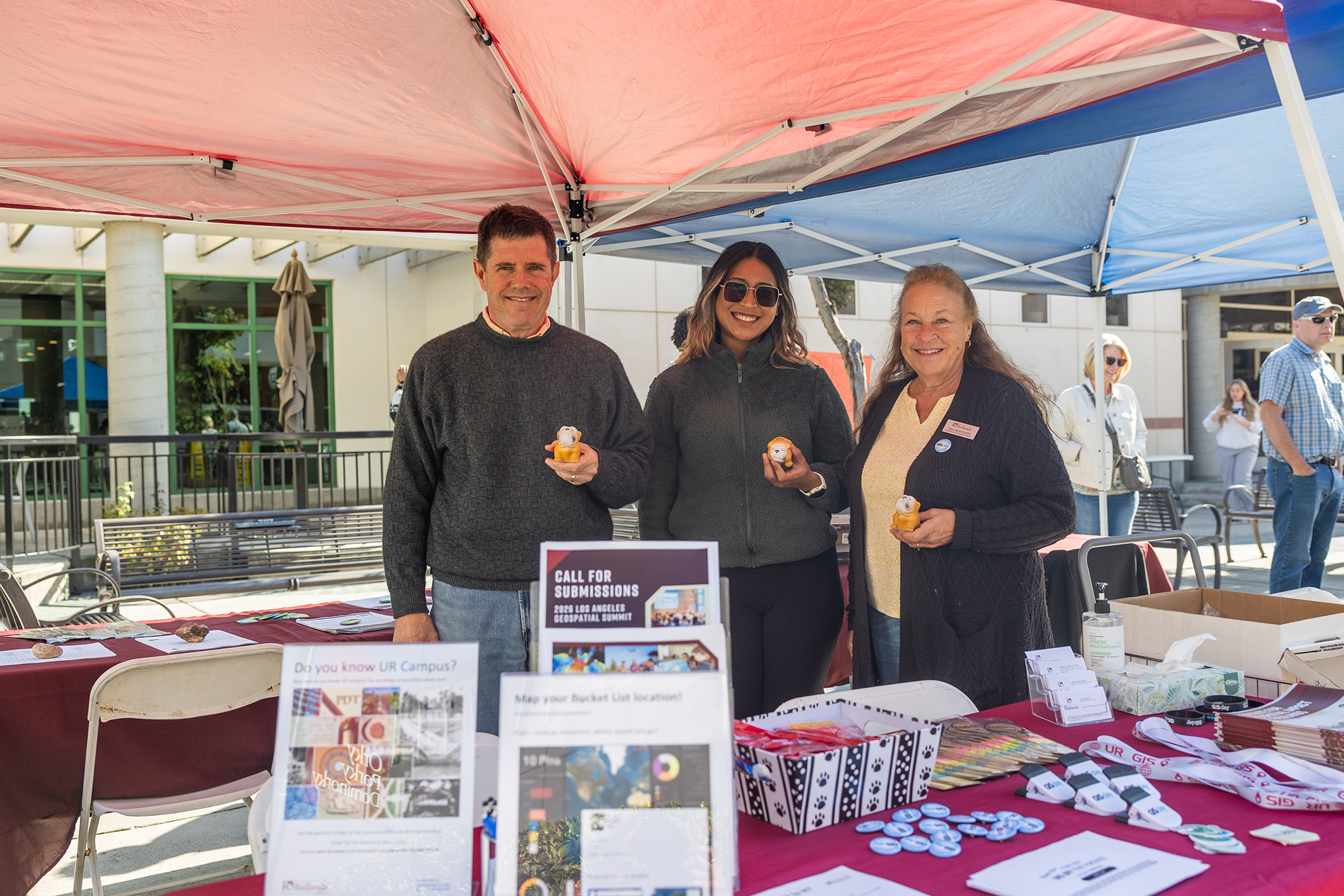
GIS annual events
The University of Redlands proudly hosts two major GIS events each year, in October and April. See more upcoming GIS events and info sessions throughout the year.
GeoWeek (Department of Geographic Information Science Colloquium)
GIS faculty
Our faculty combine academic expertise with real-world experience, mentoring students through coursework, research, and career development.