Find us on campus

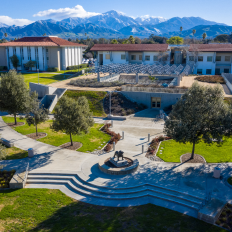
Lewis Hall


Geographic Information Systems (GIS) is a spatial system that connects data to a map, integrating location data with all types of descriptive information. The demand for GIS professionals is increasing as technology continues to yield benefits for virtually every field. Program curriculum focuses on applied, career-oriented skills through core classes that emphasize real-world problem-solving and a senior seminar that helps you identify and compete for GIS internships and jobs.
Majoring in Geographic Information Systems at Redlands will prepare you to become a specialist capable of illustrating an understanding of spatial concepts across diverse applications in business, urban planning, emergency management, and much more. As you work toward harnessing the power of the subject, you will produce maps that communicate, perform analysis, share information, and solve complex problems in the world around you. You can easily bridge your GIS skillset across many industries. As a GIS professional, your career options will range in sectors including government, utilities, and many others.
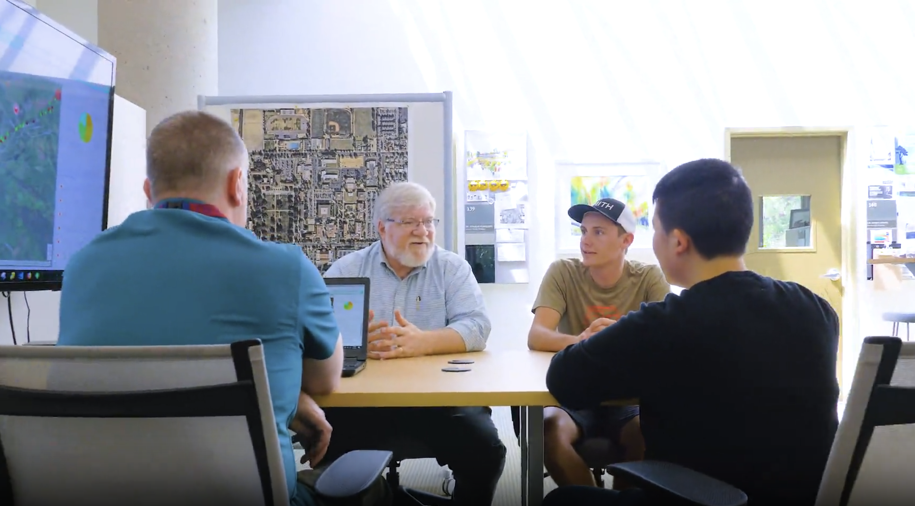
As a student in the Bachelor of Arts in Geographic Information Systems (BAGIS) program, which is an applied GIS program, you'll gain a firm foundation in GIS and its applications through a wide range of fields and disciplines. Through on-site instruction, you'll enjoy the one-on-one mentorship that distinguishes the University of Redlands as a leader in education.
You'll learn through diverse case studies and applications of spatial tools, experience real-world problem-solving, and engage through the senior seminar that will help you identify and compete for GIS internships and jobs.
GIS graduates are in high demand for businesses, non-governmental organizations, and various GIS-linked companies such as Esri, which, in addition to software engineers, need graduates with a knowledge of GIS who can also be employed in technical writing, marketing, education, and associated careers.
Early Action 1: November 1
Early Action 2: December 1
Regular Decision: January 15*

Lewis Hall


At Redlands, our students’ success is at the heart of everything we do. We offer experiential learning opportunities, but our CORE Four initiative takes that commitment to a deeper, intentional level. More than a set of experiences, the CORE Four is a framework for transformation. Learn more about how students can prepare for their academic journey.
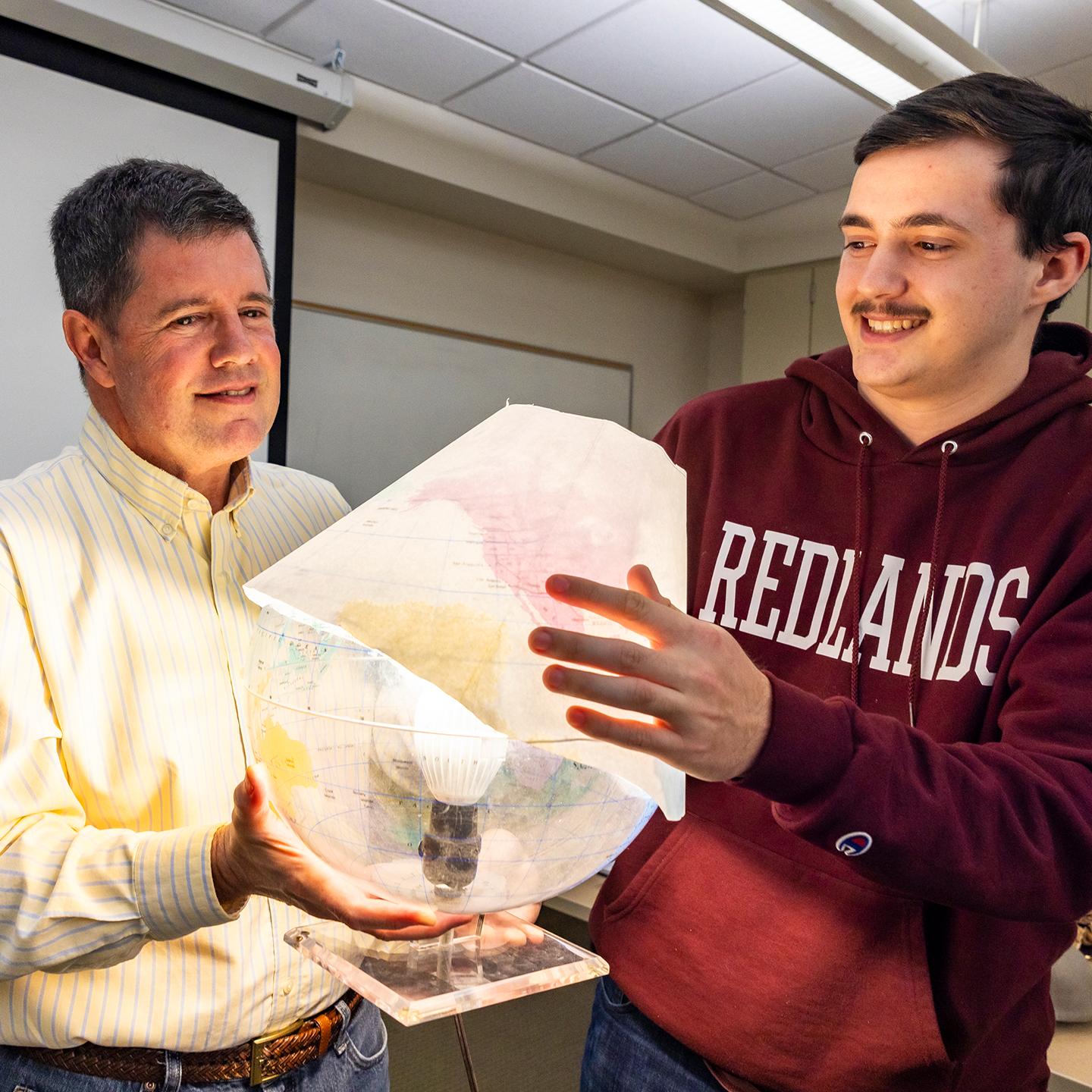
Every Redlands faculty member is an active practitioner in their field. The classes they teach emerge from their unique research and practices, and they’re passionate about what they’re sharing. At Redlands, faculty are invested in and committed to your success.


Get in touch with our admissions team.