University of Redlands
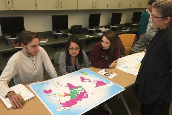
Creative spatial research and instruction projects are being conducted by nearly all academic units at the University of Redlands. Humanities students and faculty use original texts, testimonials, and even drone data to redraw maps of religions, create powerful "story maps" from testimonials of Holocaust survivors, trace historical migrations of African peoples, map ancient settlements on Hopi lands, and explore the impact of colonization on native populations in California. Social science students and faculty map historical census data to document how written and unwritten rules governed settlement patterns of minority people in the Inland Empire, use spatial statistics to find ways to avoid gerrymandering of political boundaries, and gather data from the public and social media users to identify how residents identify their neighborhoods and ascribe a sense of place to where they live.
Read more about it: