University of Redlands Emergency Alert System
Alert Received: . For more information, visit: https://www.redlands.edu/alert/
University of Redlands
- Home
- Meet Redlands
- GIS for a Better World
- Environment & Sustainability

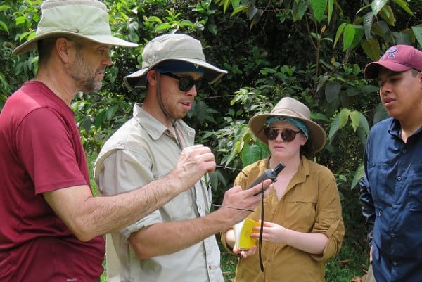
Spatial thinking and geographic information systems (GIS) underlie nearly all research and study done to understand our world, solve environmental problems, and promote sustainability. Students and faculty at the University of Redlands use GIS to track animal movements in the San Bernardino Mountains, map how marine mammal populations fluctuate and are impacted by humans along the California coast, track pollutants in glacier meltwater in the Sierra Nevada Mountains, conduct research on natural and urbanized ecosystems, and document patterns of environmental injustice. Through interdisciplinary instruction and research students learn how to structure problems, find answers, and express solutions.
Read more about it: