University of Redlands
The Center for Spatial Business recognizes outstanding undergraduate and graduate students at the Redlands School of Business & Society who demonstrate excellence while pursuing their studies in business geographic information systems (GIS).
The Center for Spatial Business Undergraduate Award for Excellence in Business GIS honors outstanding course projects submitted by students enrolled in the Bachelor of Science in Business program core course BUSB 433 (GIS for Business).
Download Details >
The Center for Spatial Business Graduate Award for Excellence in Business GIS honors outstanding course projects submitted by students enrolled in the MBA program’s Location Analytics concentration or the MSBA program.
Download Details >
The honoraria awarded to students are courtesy of donations provided by the University of Redlands School of Business & Society alumnus Kazuo ‘Kaz’ Takeda, former manager of industrial engineering at Disneyland Resort. Takeda’s donations are a result of Disneyland Resort’s Ears to You grants. His continued support and generosity enable recognition of high-quality student work in the area of business GIS.
Get a glimpse of the students and the projects that merited past Student Excellence Awards.
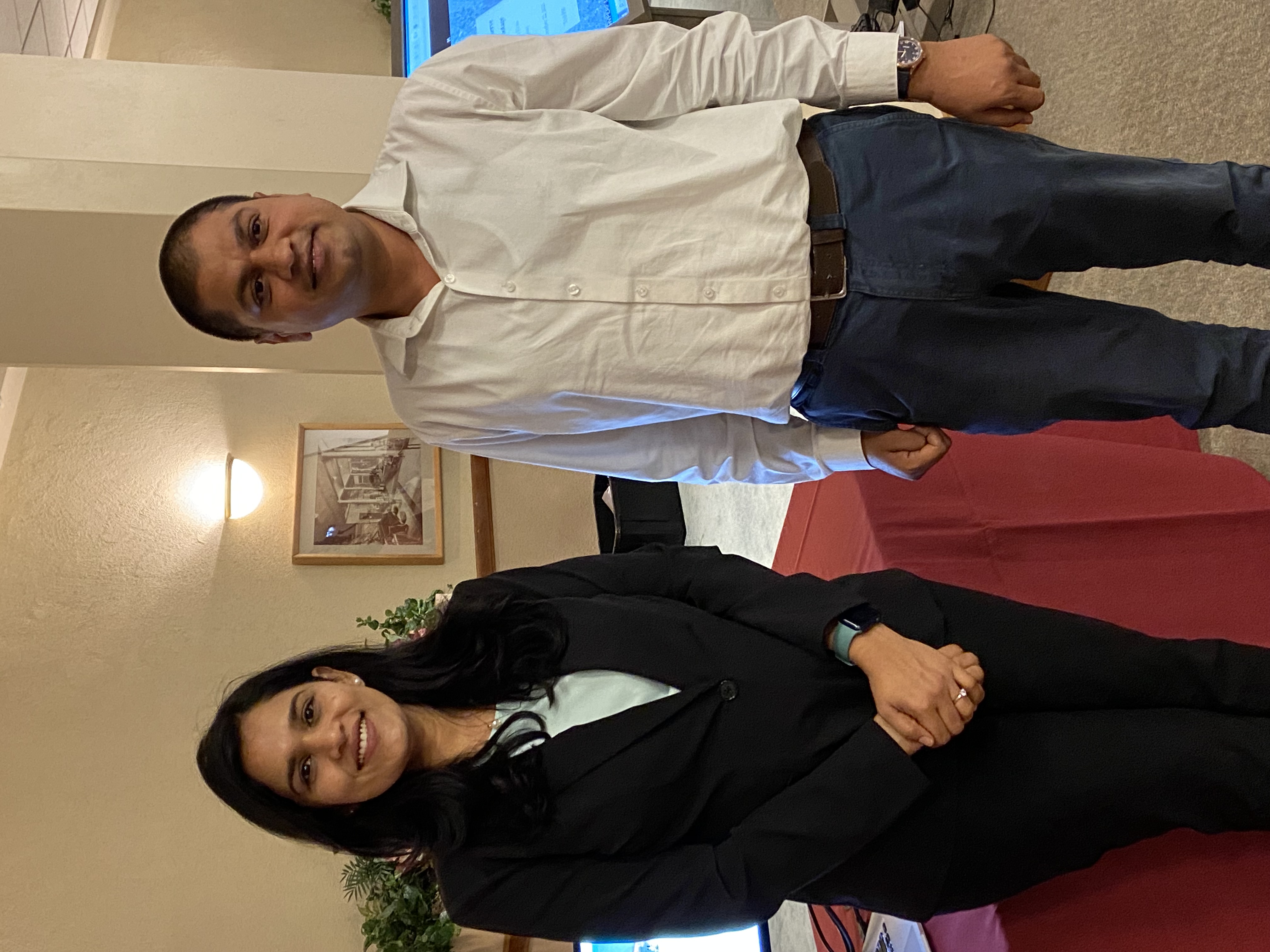
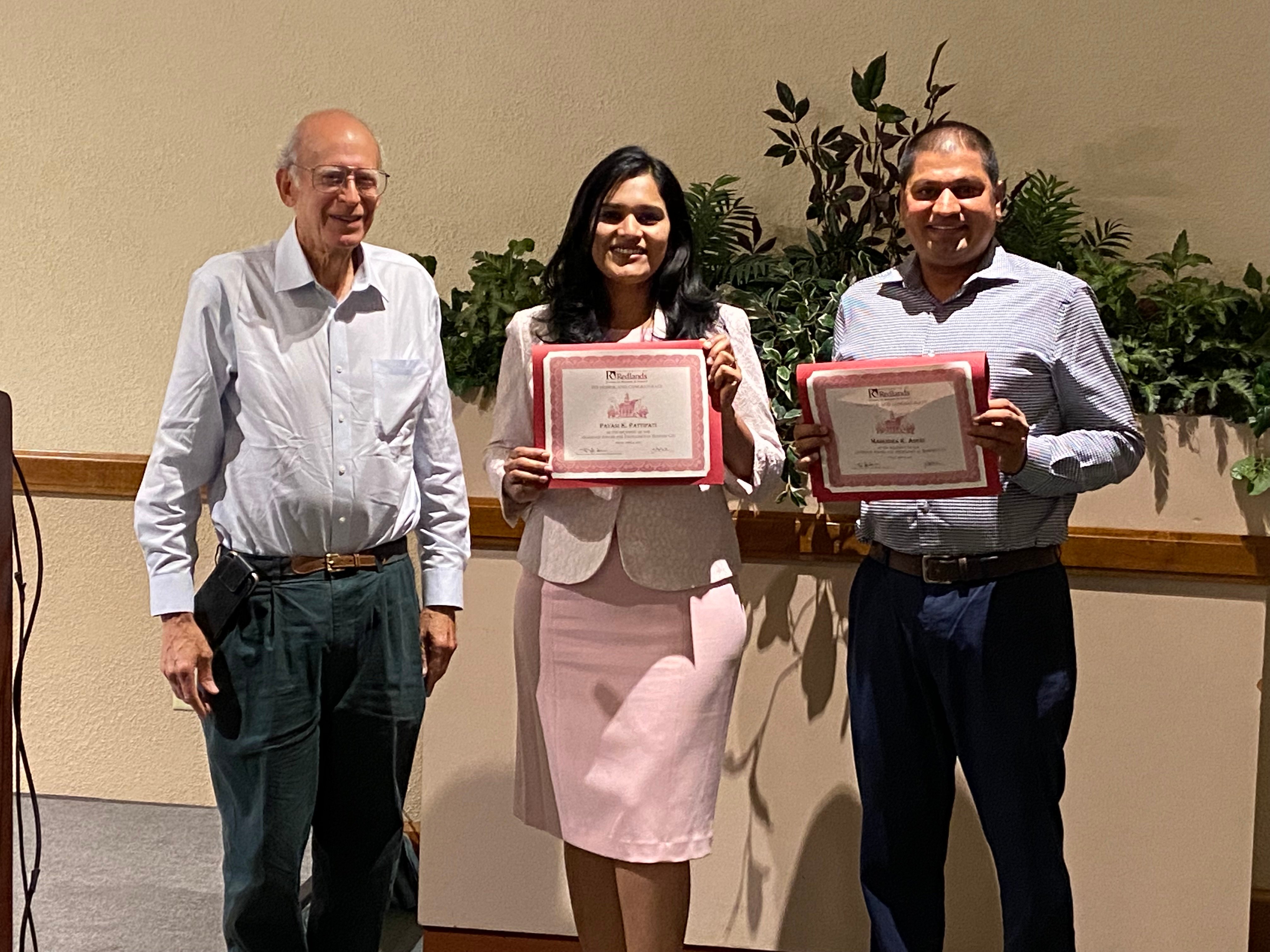
Pavani Pattipati '21
MBA, Location Analytics and GIS This Project applied location analytics to determine multiple aspects of the dynamic spread of the Covid-19 pandemic in selected areas of Southern California. Data were utilized from 42,000 anonymized electronic health records (EHR), combined with hospital and demographic data at the zip code level over the time period from March to December of 2020. Tools used included MS Power BI, ArcGIS Pro, ArcGIS Insights, and Tableau. Covid indicators were the number of Covid tests, total no. of patients testing positive, and patients’ later outcomes of recovery or death. These findings were correlated with patient types, points of origin, race, and age, as well as patient payment information over the time period. Visualization of results includes maps of covid characteristics at the zip code level over time, the positivity of tests over time, and by age group, The results were summarized in a six-paneled dashboard over time. The conclusion states “Covid-19 studies with GIS could be valuable tools in decision-making, and, more importantly, social mobilization and community responses. Understanding the spatial-temporal dynamics of Covid-19 is critical to its mitigation.
Read More >
Mahendra Aseri '21
MBA, GIS Emphasis This Project applied location analytics to determine multiple aspects of the dynamic spread of the Covid-19 pandemic in selected areas of Southern California. Data were utilized from 42,000 anonymized electronic health records (EHR), combined with hospital and demographic data at the zip code level over the time period from March to December of 2020. Tools used included MS Power BI, ArcGIS Pro, ArcGIS Insights, and Tableau. Covid indicators were the number of covid tests, total no. of patients testing positive, and patients’ later outcomes of recovery or death. These findings were correlated with patient types, points of origin, race, and age, as well as patient payment information over the time period. Visualization of results includes maps of Covid characteristics at the zip code level over time, the positivity of tests over time, and by age group, The results were summarized in a six-paneled dashboard over time. The conclusion states “Covid-19 studies with GIS could be valuable tools in decision-making, and, more importantly, social mobilization and community responses. Understanding the spatial-temporal dynamics of Covid-19 is critical to its mitigation.
Read More >
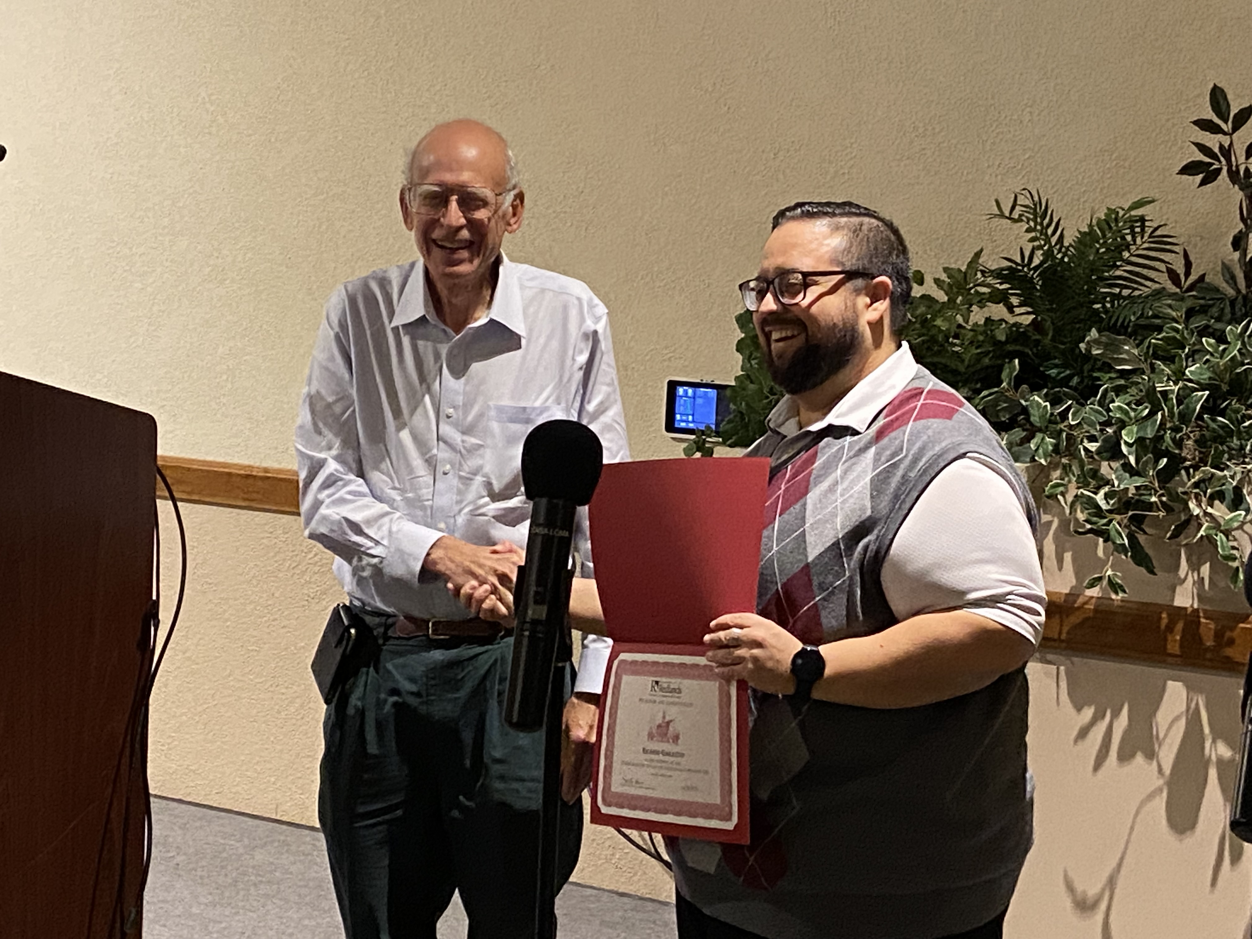
Ricardo Garavito '23
Business Administration, Accounting This project addressed spatially the best possible location to grow Blu Chip Financial Services LLC. The ESRI system allowed for research of the top 10 competitors within the industry using the NAICS code. Layers of maps were utilized with populations of individuals 18 and over and within a 15-minute drivetime analysis. The information identified the prime areas to open an office. In addition to the ESRI system, outside real estate websites that matched the criteria of the leading offices in the tax industry were referenced.
Read More >
Tricia Methe ’21
Bachelor of Science in Business
This project used GIS to visualize the program for support of homeless youth in the Placentia-Yorba Linda Unified School District. Using federal data, homeless youth were identified by location and their geographic patterns analyzed relative to low-income areas and to school sites in the district, verifying there were homeless youth within every school area.
Mercedez Speaker ’21
Bachelor of Science in Business
This project analyzed the sales potential of residential properties in areas of Redlands/Loma Linda with lower population densities. It created a new spatial approach that drew on data including debt, home equity, and turnover rate to narrow the target, leading to smart map targeting to identify the property within the low-density areas of the cities with the best potential to be sold.
Read More >
Chris Wasson ’21
Bachelor of Science in Business
This project addressed how to improve locational choices in the musical instrument retail industry to gain competitive advantage. It focused on how a major retailer, the Guitar Center, could strategically locate new retail stores in Southern California by using a geofencing strategy to reduce lost sales and increase competitiveness.
Read More >
Jordan Gomez, Tridev Raut, and Gerardo Unzueta ’21
MBA, GIS Emphasis
This project developed an information product that can support engineering staff in network-staking design and conduit mapping for a fiber network, leading to the spatial mapping of the optimal arrangement of fiber links and network assets. It showed efficiency in network processing and included a database model, migration plan, analysis workflow implications, and a risk assessment framework.
Read More >
Jason Wolff ’18
Bachelor of Science in Business
This project explored the use of GIS applications to facilitate informed decision-making on strategies to improve sales revenue. It focused on a local small business that sells mission-critical data storage components. Two strategies for expansion were proposed detailing how GIS can be used to gain knowledge about the target region in which to execute the plans.
Read More >
Daniela Belsaguy, Mickey Bentancourt, and Robert Peng ’18
MBA, GIS Emphasis
This project identified a specific business problem affecting the East Valley Water District. Through geographic information system (GIS) concepts and Cityworks Asset Management Software, it then created a strategic plan to enhance the district’s asset management initiatives.
Read More >
Bethany Sloan ’17
Bachelor of Science in Business 
This project provided information on her small firm’s online business customers located across the United States. It successfully geo-referenced the 500 retailers that make direct purchases of her products—in other words, the firm’s customer base. That allowed it to spatially analyze and gain greater understanding of the firm’s customer base data.
Jonathan Hrovat ’17
Bachelor of Science in Business 
This project performed a spatial analysis of a very large dataset of micro loans provided by Kiva.org to impoverished borrowers worldwide. Very large data sets were mapped to see and interpret the spatial trends for Kiva’s lenders and discover more effective approaches to supporting micro finance. More detailed analysis of loans in Kenya were made by proximity to food, agriculture, irrigation, and population.
Zaid Alsaadeh, Charles Anderson, Tanya D. Bonelli, and Brittany Miller ’17
MBA, GIS Emphasis
This project used GIS to identify gap opportunities for a small luxury greeting card firm. A GIS application was developed to identify customers with preferred attributes and geographically located prime Southern California market areas by ZIP codes. Ideal store locations were chosen based on detailed mapping of greeting card consumption, wealthy incomes, and drive-time distances.
Jeremy Young ’16 Bachelor of Science in Business
This project reviewed the process of creating a new GIS application along with the benefits of spatially analyzing a new location for the Yo-Way Eatery restaurant.
Read More >
Tony Molnar ’16 
Bachelor of Science in Business
This project analyzed strategic dispatch operations using GIS for M3 Mechanical, a mechanical and electrical contracting business.
Read More >
Jeffrey Bertotti, David Crawford, and Lisa M. Lee ’16
MBA, GIS Emphasis
This project produced a marketing plan targeting the senior population for Planet Fitness using GIS and ESRI Tapestry Segmentation.
Read More >
Christopher Bubela ’15
Bachelor of Science in Business 
This project described the framework for a GIS-based quality analysis tool using ESRI’s ArcGIS Desktop that can be utilized by TRDI’s customers, marketing, and engineers. It also illustrated an example of GIS analysis for measurement and processing of quality data.
Jessica Rosales ’15
MBA, GIS Emphasis 
This project examined the process of choosing an overseas career opportunity based on a set of criteria that was benchmarked against the United States. Information used in the decision-making process was shown via maps and charts.
Read More >
April Hopps ’13
Bachelor of Science in Business
This project studied workplace transportation improvements at the Naval Surface Warfare Center in Norco, California.
Read More >
Steven Moore ’13
MBA, GIS Emphasis 
This project analyzed the spatial extent of the steel production industry, examined how it has changed globally in recent years, described important related industries, and explained how the steel industry interacts with those other industries.
Read More >
Aaron Bishop ’12
Bachelor of Science in Business 
This project designed a not-for-profit business model describing how to use Google Earth, U.S. Census data, ArcGIS Online, and Ushahidi’s Crowdmap to provide vital geospatial services to families in search of missing persons.
Read More >
Betty Crocker ’12
Bachelor of Science in Business 
This project used ArcGIS and Tapestry Segment data to visually inspect locations for Southeast Asia parents who wanted to send their children to the United States for education.
Read More >