
Steven Arciniega
Content Strategist, Office of Marketing and Strategic Communications


Apr 15, 2026
Maps are most powerful when they point toward improving people’s lives.
Ali Frazzini posited this powerful message and others in her keynote address at University of Redlands' 13th Annual Spatial Symposium. In addition to an evening filled with student poster presentations, StoryMaps, and awards in geographic information systems (GIS) excellence, Frazzini, the sustainability policy director for Los Angeles County, shared three GIS-driven projects she’s completed in her role for the county. From making urban agriculture accessible to combating extreme heat exposure to establishing energy-efficient rooftops, each of Frazzini's projects employed spatial analysis to direct limited resources where they were most needed.
“We have a lot of environmental injustice within and across the county,” she said. Due to its history of industry and freeways that run through communities, Los Angeles continues to face pollution, burdensome developments, and natural disasters. “The state uses a scoring system to determine which communities across California face a lot of environmental burden. Over 50% of California’s population is in the most environmentally burdened census tracts, which are within Los Angeles.”
Of her work with the county, one project challenged a long-held assumption in urban planning — shade. Working with UCLA researchers, Frazzini used spatial analysis to map shade at the census block level, uncovering counterintuitive findings.


“This project demonstrates why it's so valuable to find good questions to analyze and to always be open to the idea that there might still be better questions out there,” she said. “If we had only asked ourselves which communities have higher air or higher surface temperatures, we could have entirely overlooked the fact that someone waiting at a shadeless bus stop in relatively temperate-cool Santa Monica has more risk of excessive heat exposure than someone waiting at a shaded bus stop in Long Beach. It was brave of the researchers and geospatial experts to confront the orthodoxy of urban planning, and say, ‘you guys are kind of missing the point when you focus exclusively on surface temperature and the urban heat island effect.’”
The project data is now guiding where Los Angeles County plants trees and installs shade structures and is the kind of thinking Redlands has been building toward — applying geospatial thinking to tackle real-world challenges.
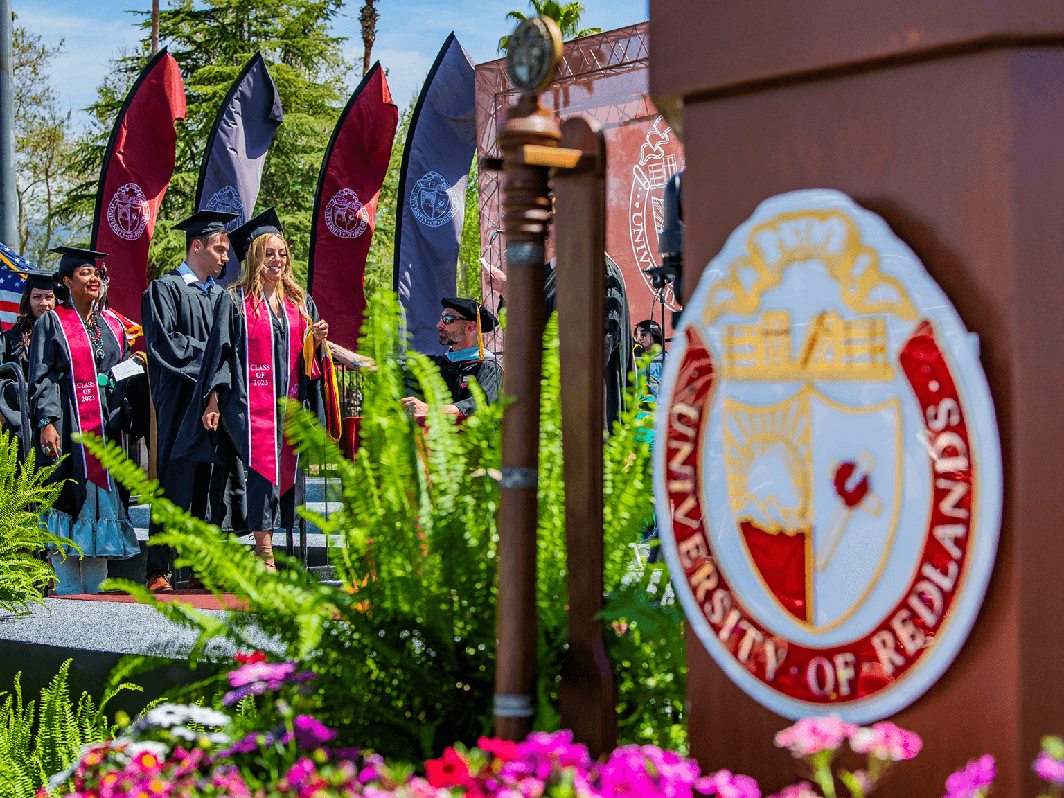
For GIS students who will be walking across the Commencement stage in a few days, Frazzini offered simple yet pointed advice: “Be curious about everything. If a project doesn't go the way you expect, if the results don’t match your theory, give yourself the opportunity to experience that as delight at learning something unexpected.”