University of Redlands
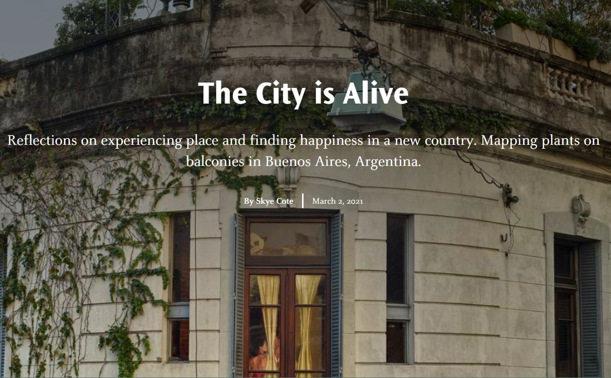
The tradition of cartography emphasizes fact and objectivity. But maps are not objective, they are spatial storytellers. 'The City is Alive' utilizes the dynamic nature of story maps to convey a sense of place and proudly embraces the personal aspect of mapping. I reflect on my study abroad experience in Buenos, Argentina by using Google Earth to map plants on apartment balconies in the Recoleta Neighborhood. My time in a new city taught me a great deal about creating my own happiness and experiencing the life all around us. This narrative cartography was a project for my class 'Mapping People, Mapping Place' with Professor Wes Bernardini. skye_cote@redlands.edu