
View all stories
Read the current or past stories or anything you might've missed through the stories and news listing.
A way forward
Jun 24, 2026
Recent stories
Stay informed and inspired on key topics
Arts & Culture
Campus & Community

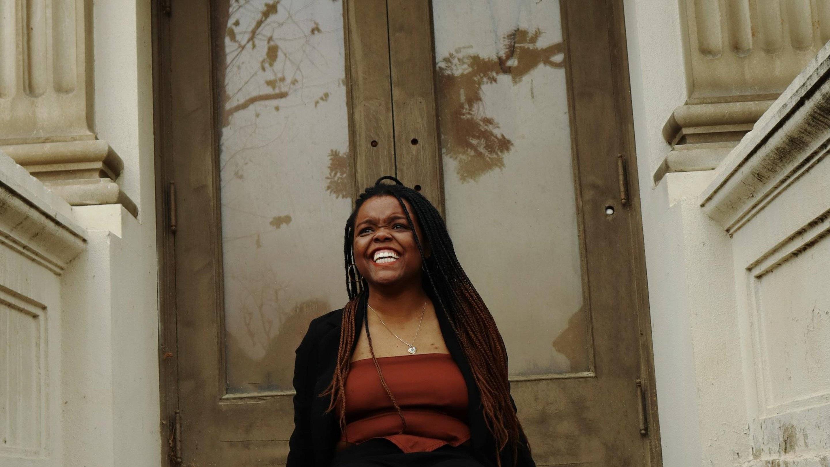
Elements of Freedom: U of R to celebrate Juneteenth with reflection and community
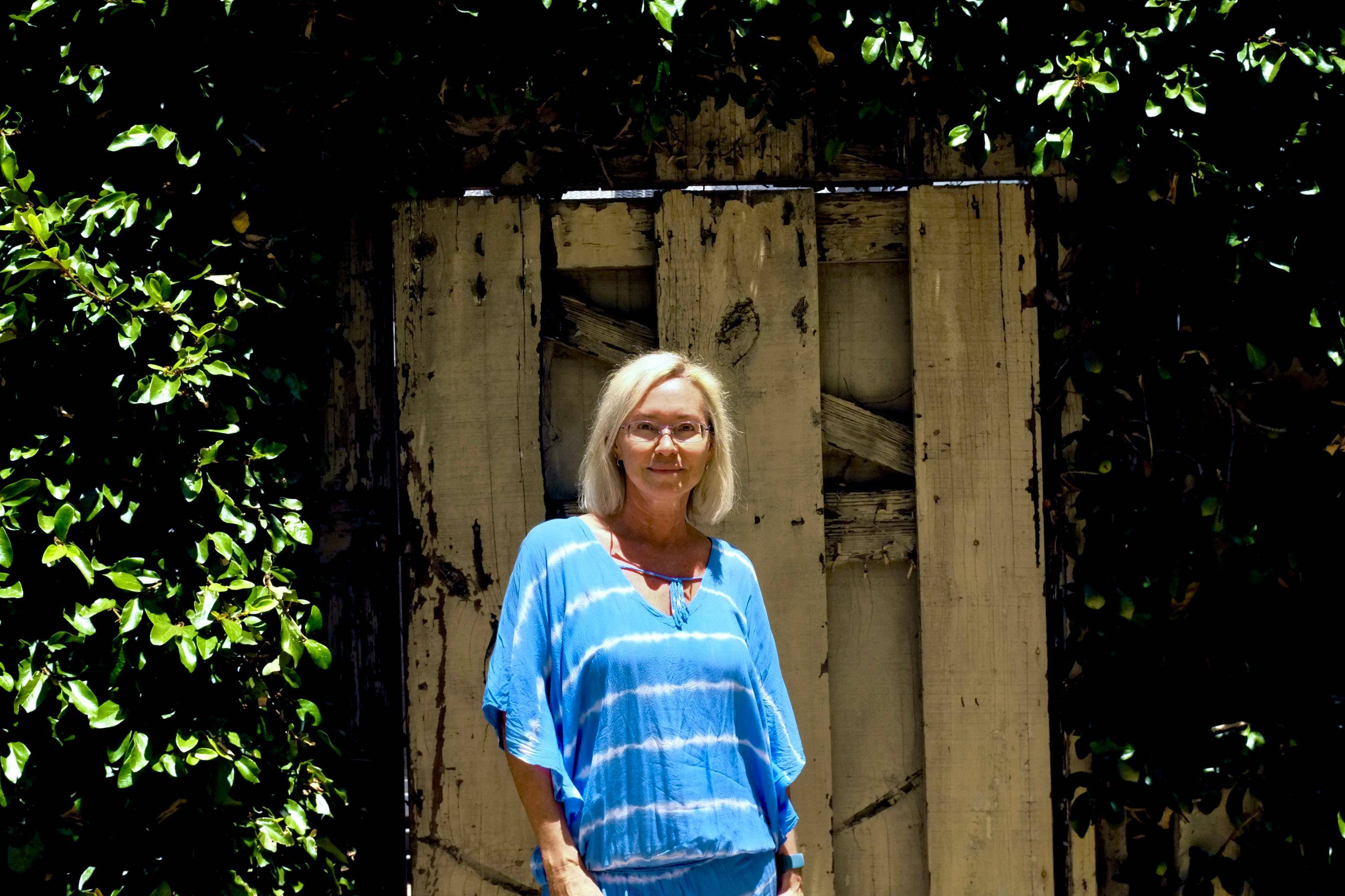
Planting seeds of purpose

Serving under fire
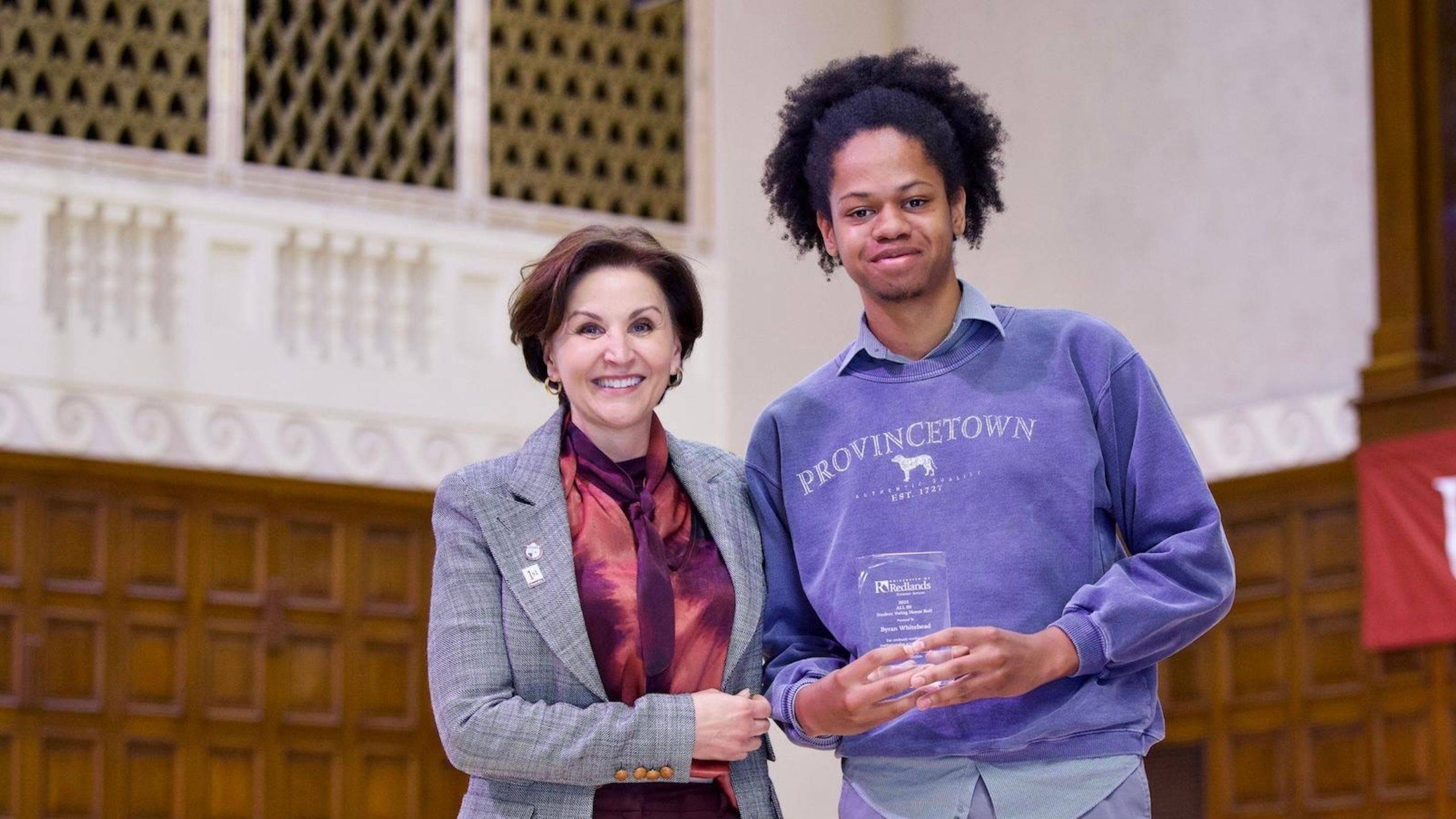
ALL IN for democracy

Dressed for success
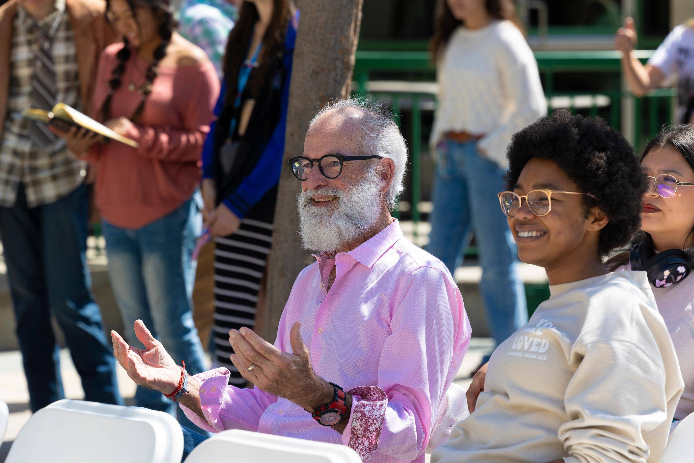
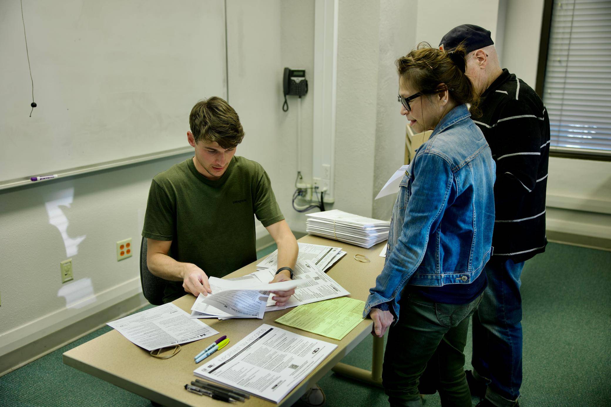
Your vote, your voice, your impact
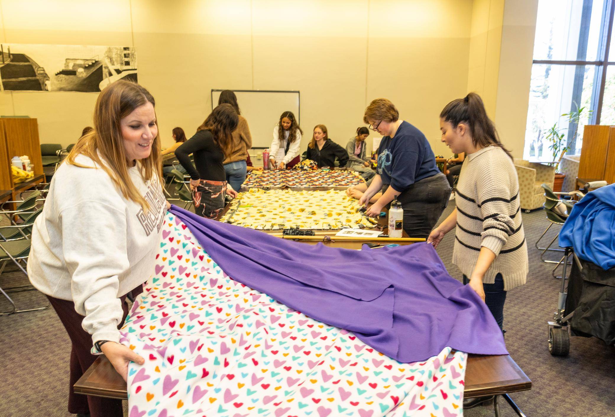
Creating impact by giving back
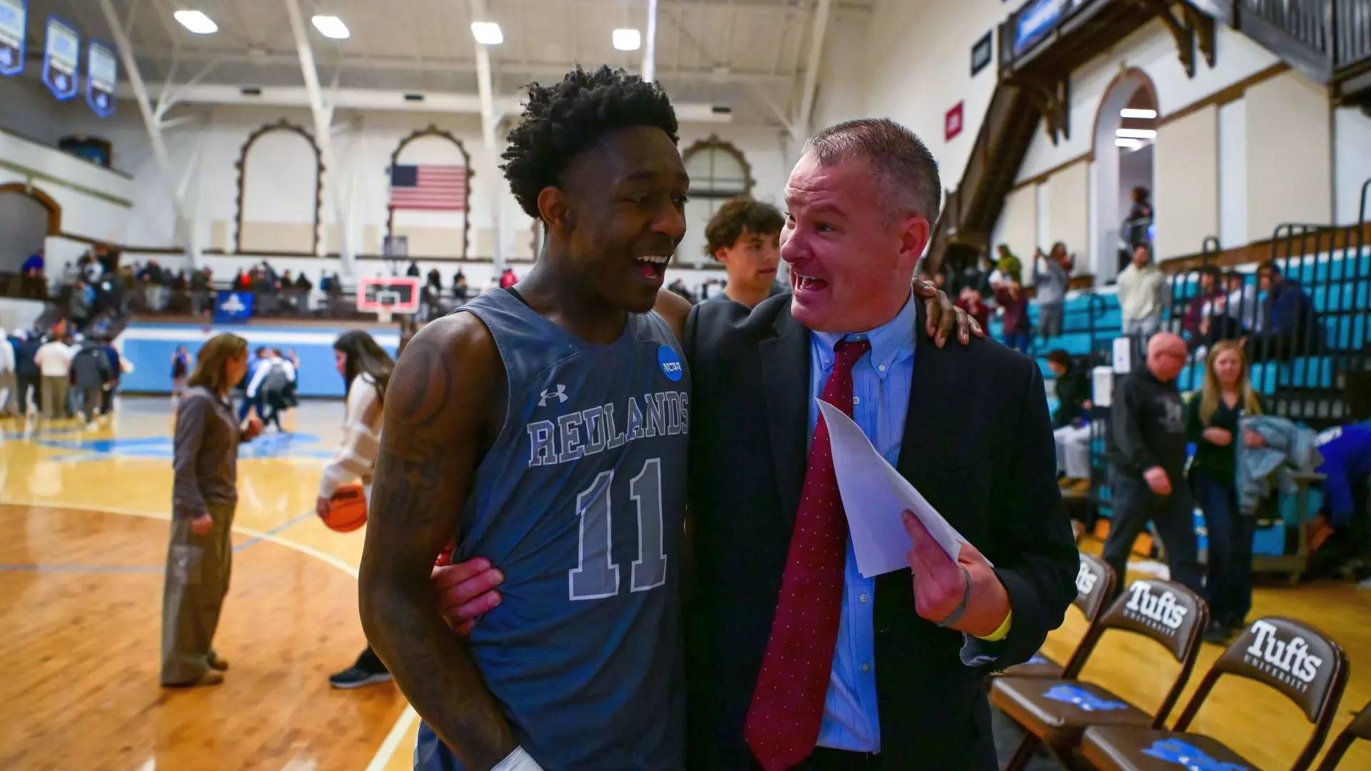
Defying the odds towards victory
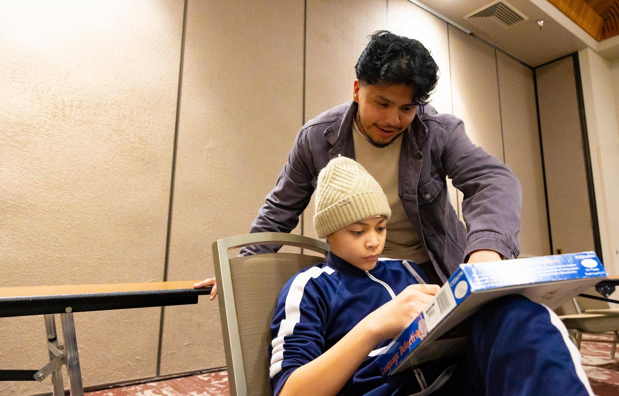
Mentorship that makes an impact
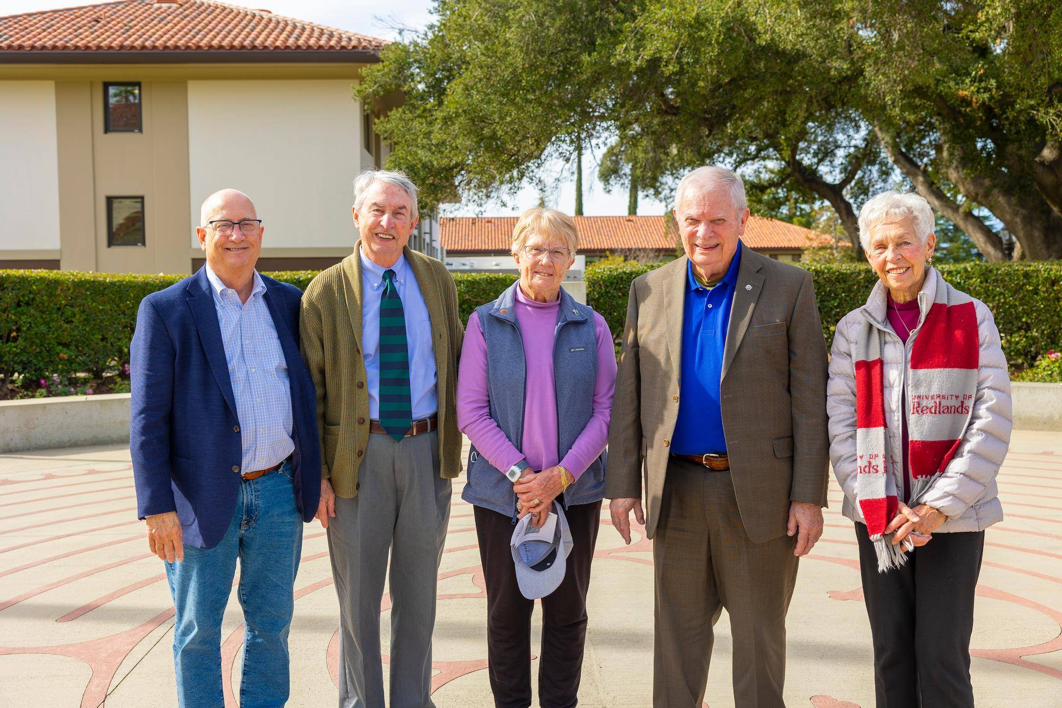
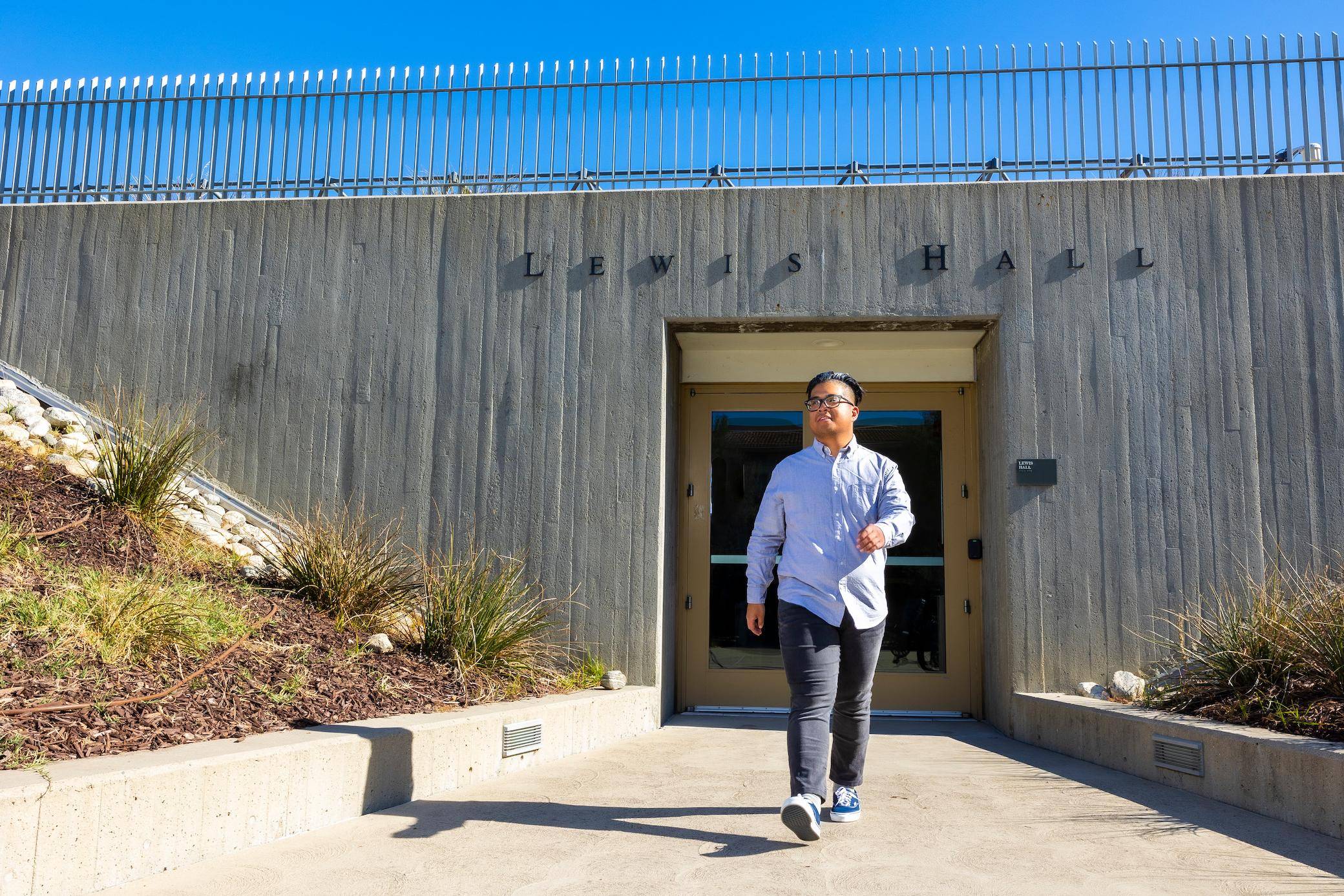
Walking the path of reflection

Voice of the Bulldogs
Small contributions, big impact
Business & Society


Innovation & Research

Service & Impact


University News
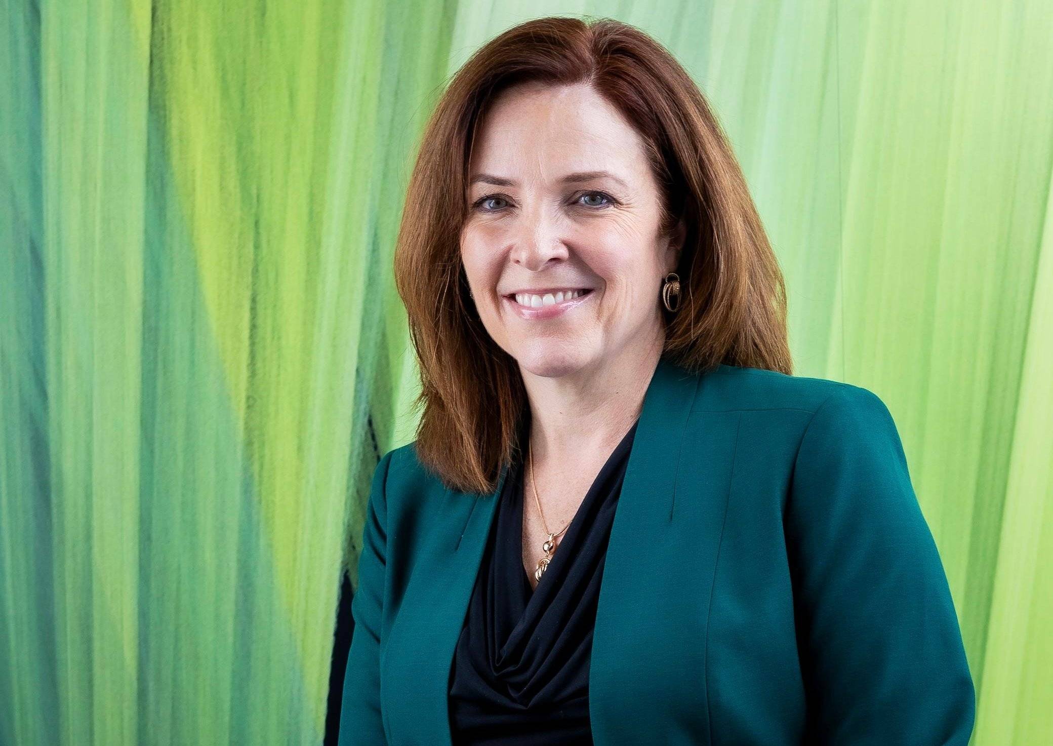
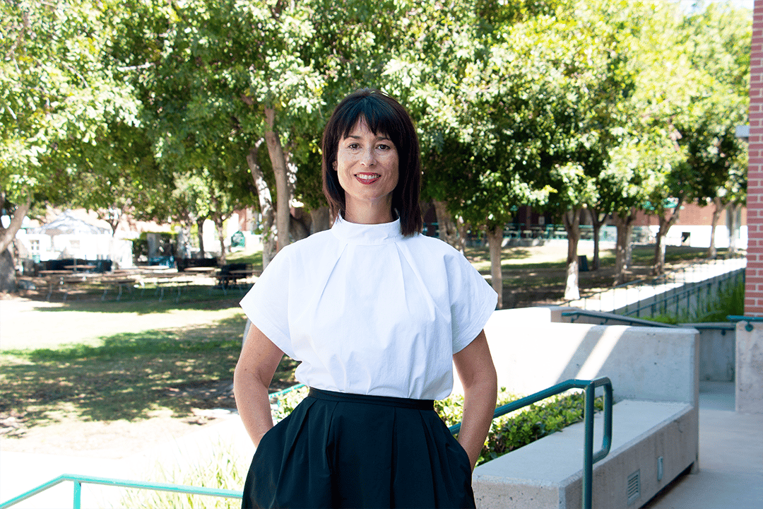
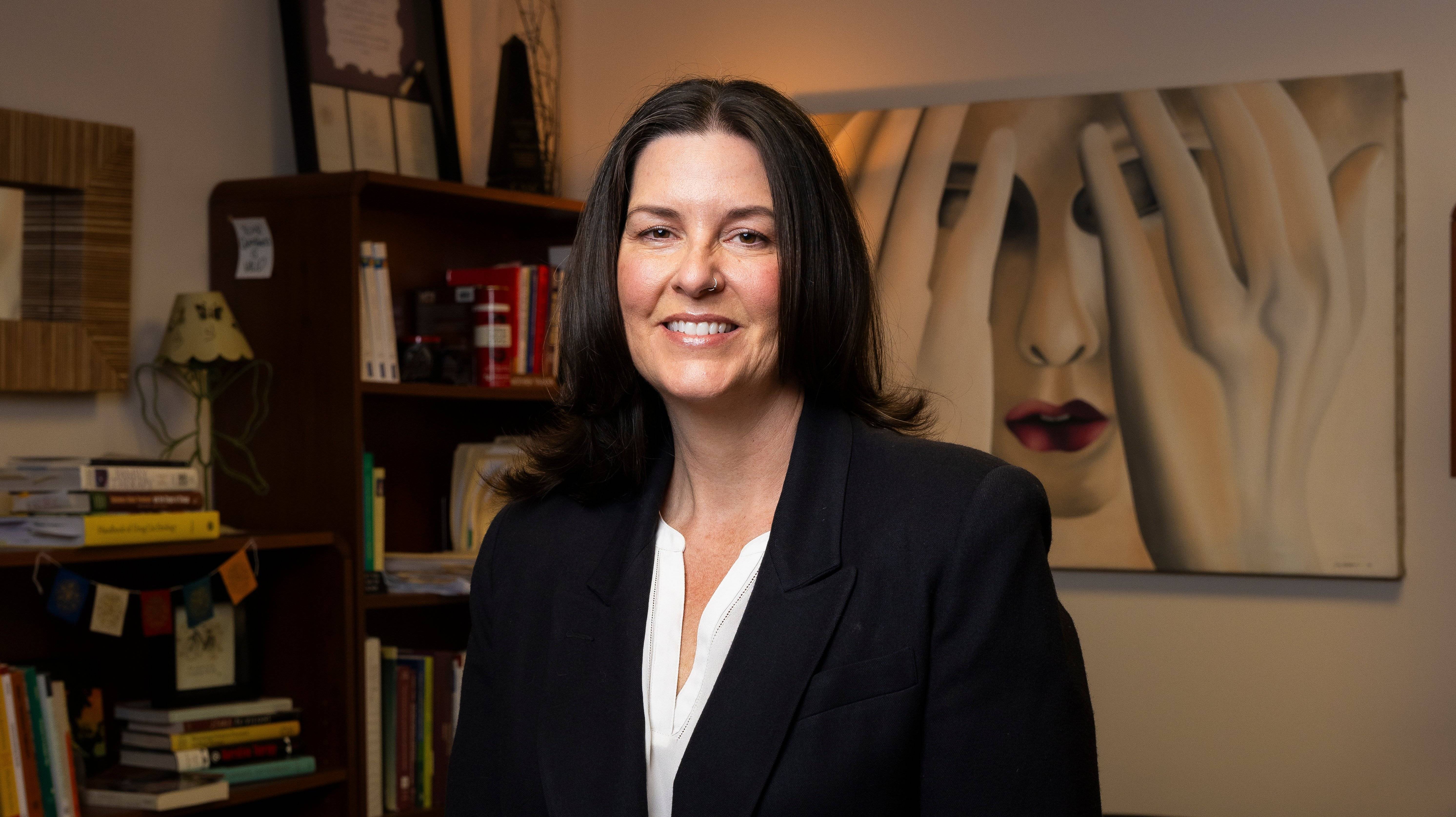
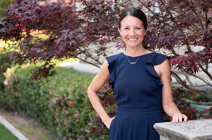
Welcoming our New School of Business & Society Dean Dr. Jennifer Madden
Woodbury Campus in the Spotlight
Higher Access, Higher Earnings: Redlands ranks among top colleges and universities for student outcomes
University Announcement
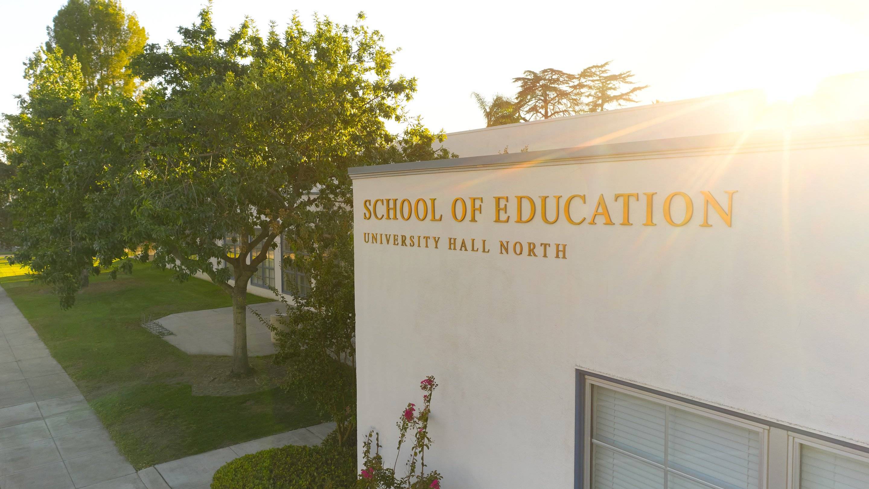
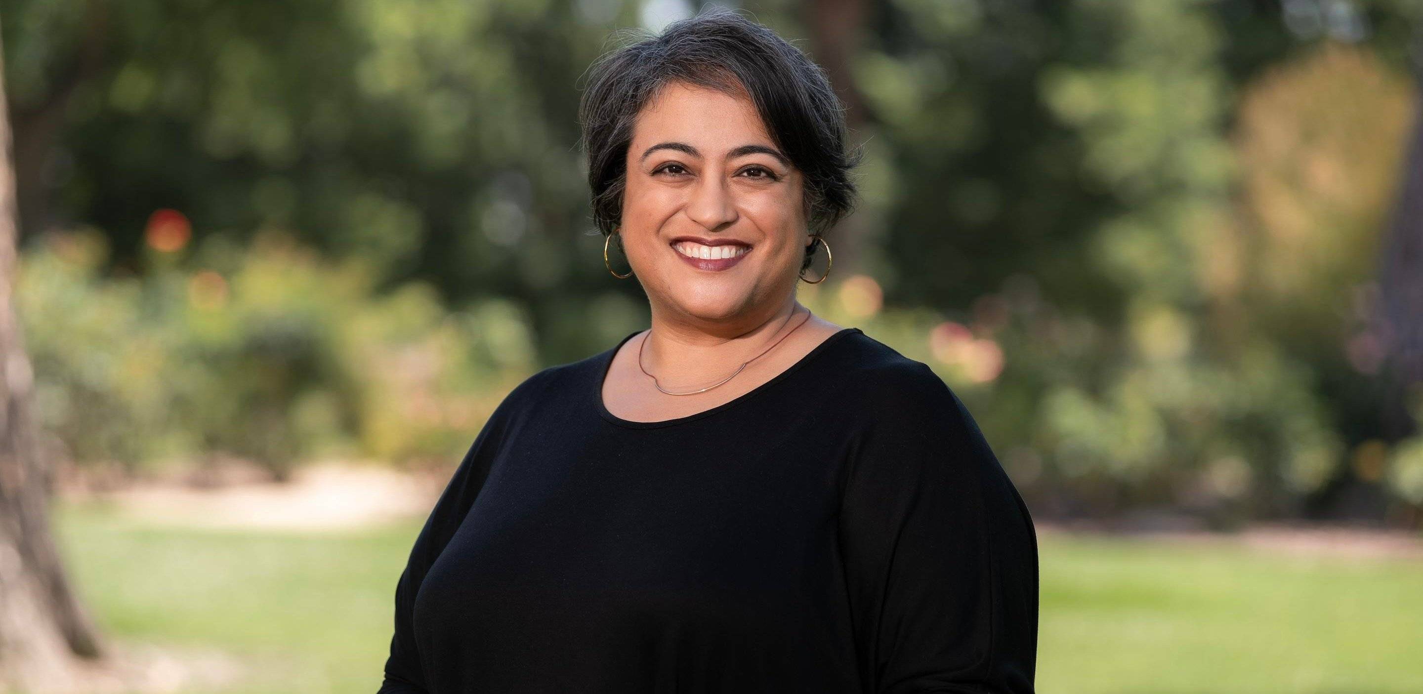
Introducing Our New SOE Dean: Dr. Vajra M. Watson

New Vice President of Intercollegiate Athletics

President's Report
View the latest issue of the President's Report.
Faculty Spotlights
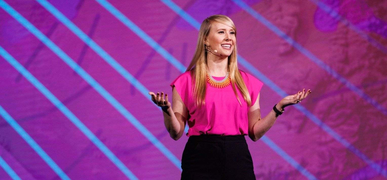
Durable words in a fractured world
Woodbury University Dean Heather Flood named AIA|LA 2025 Educator of the Year
Learning from the past, empowering the future
When classrooms go quiet
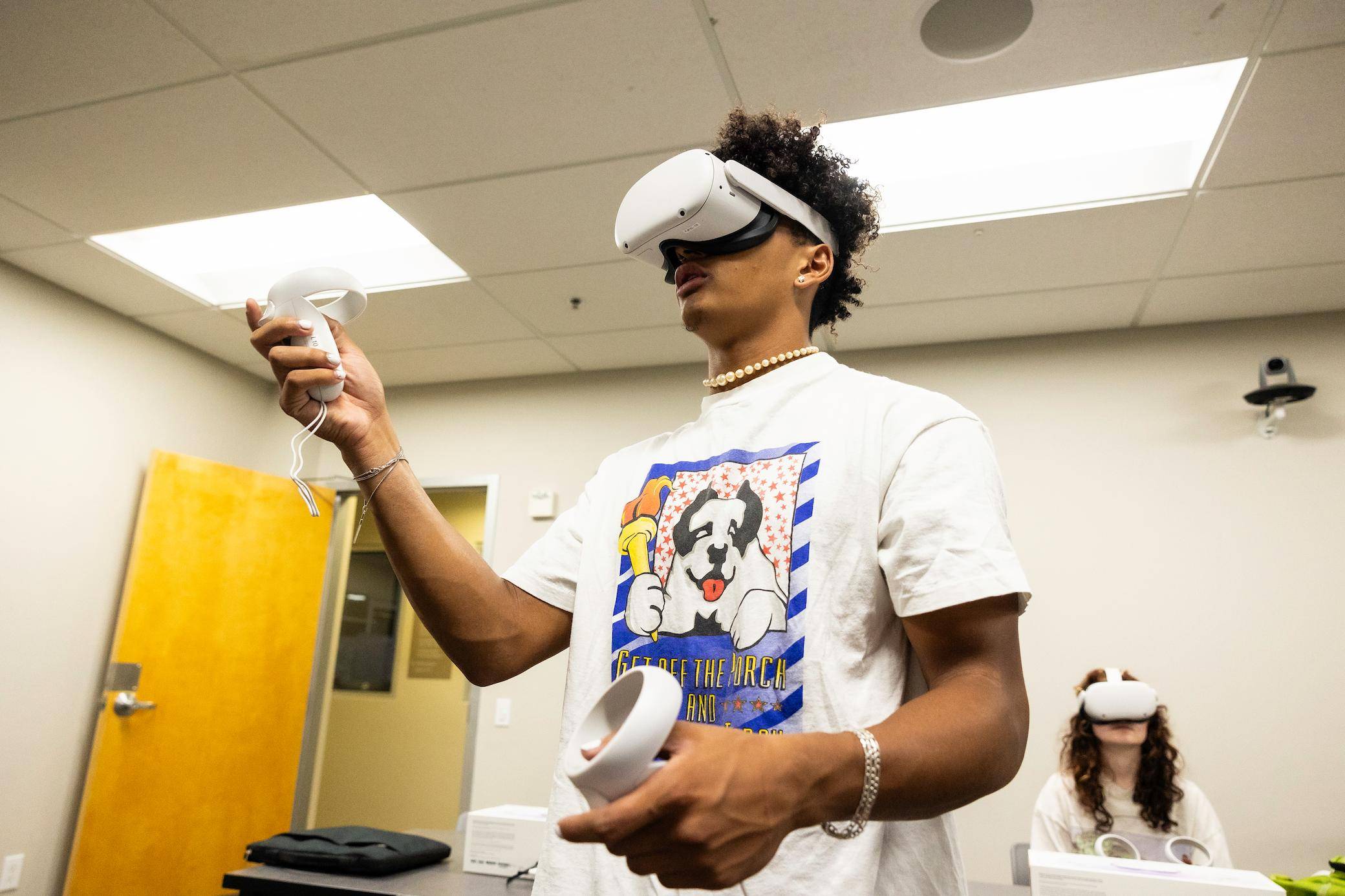
Learning for tomorrow
Creating impact by giving back

Creating change, one mile at a time
A transformative opportunity
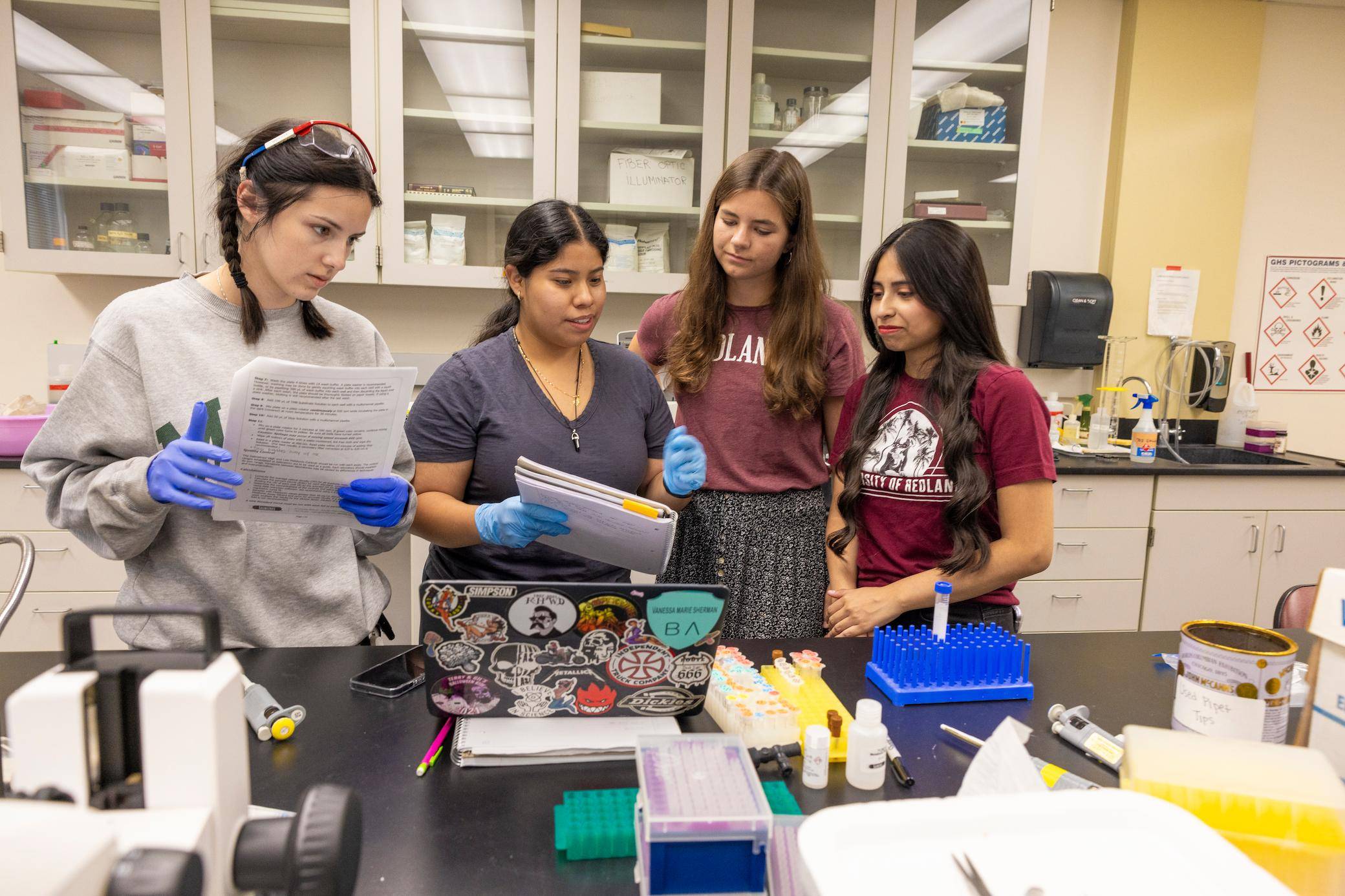
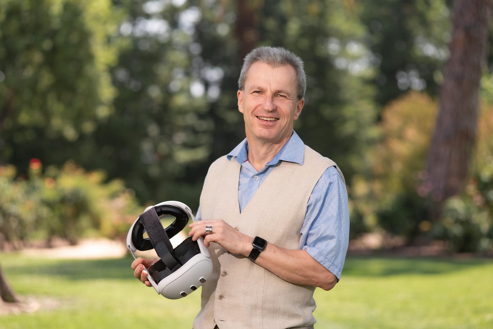
Science for sleep

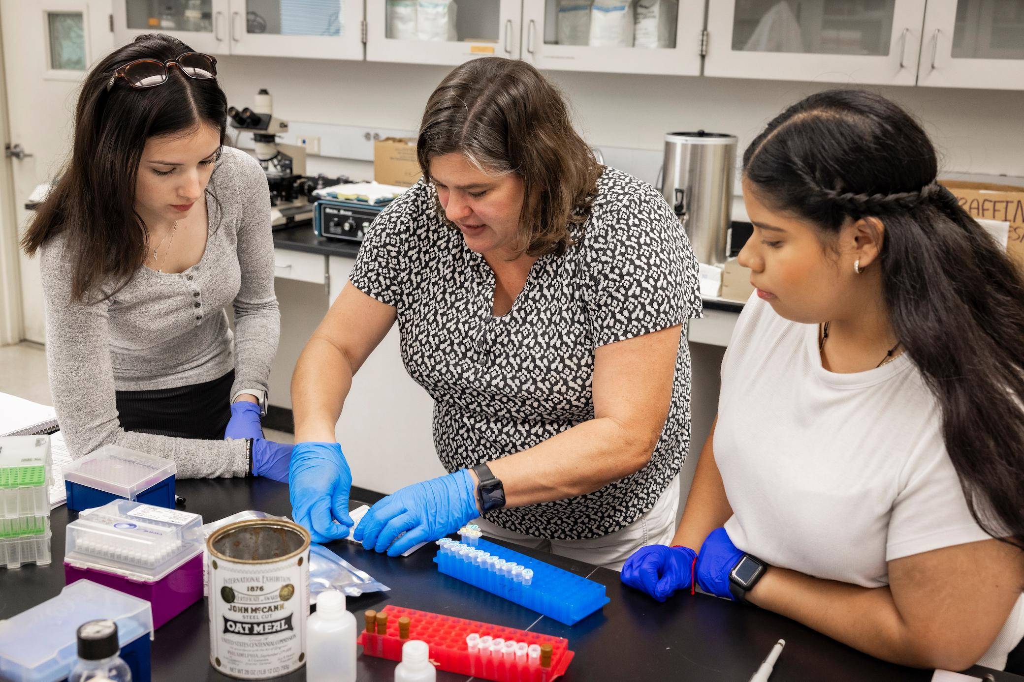
Mapping metal
Helping students help others
Och Tamale Magazine
A magazine that keeps alumni and friends of the university informed with stories and updates.


