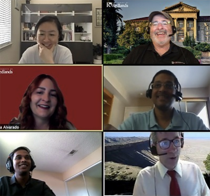
Every year, nearly 20,000 people gather for a week in San Diego, California, to attend the Esri User Conference. Members of the University of Redlands community participate in the conference annually, but this year the event took a new shape.
The conference, which is the largest gathering of geographic information systems (GIS) professionals in the world, provides an opportunity for attendees to share their work, learn from others, and make new connections. As the COVID-19 pandemic took hold, it became apparent that a large, in-person gathering would not be possible, and the User Conference moved to an online format.
Director of the Center for Spatial Studies Steve Moore says during a normal year he works with Spatial Resources Manager Lisa Benvenuti and a University-wide planning committee to plan for the U of R presence at the conference—managing registration, coordinating presentations in the expo area, planning reception events, and keeping track of presentations by faculty and students. But this year, conference organizers made the decision to go virtual in May, and everything went online: all of the conference presentations, plenary sessions, and the map gallery.
Forging ahead
But participants from the U of R forged ahead. A number of faculty members and students delivered presentations and submitted research. Professor of Race and Ethnic Studies Jennifer Tilton delivered a lightning talk that shared research and StoryMaps about racial and ethnic diversity in the Inland Empire, which was especially relevant as civil unrest gripped the country.
"I valued most the chance to connect with some of the other people working on racial and social justice mapping initiatives around the country and learning about Esri's new Racial Justice Hub,” says Tilton. “Of course, it was also great to have the chance to learn about some of the newest features of Esri software—I'm going to be incorporating what I learned at the conference into my first-year seminar this fall.”
Senecal Endowed Dean of the School of Business Thomas Horan and Professors Avijit Sarkar and James Pick delivered a presentation on how organizations in the private sector are deploying GIS to gain insights about customers, expand business, and manage risk. Sarkar, Pick, and Tridev Raut ’21 coauthored a poster about spatial patterns and socioeconomic influences on American internet use.
“I approached the UC this year with some trepidation, due to its virtual nature,” says Sarkar, who notes that the event was his first online conference. “Over the years, the conference in San Diego has helped me, like many others, forge many relationships and friendships with all kinds of spatially minded people. This year, it turns out I quite enjoyed the presentations and workshops—especially those focused on data science, analytics, and geo-artificial Intelligence, as my teaching and research interests are in this area. Plus, with our new MS in Business Analytics program launching this fall, I lapped up the opportunity to learn more about spatial data science.”

Silver linings
The online format also had some unforeseen benefits. Ahead of the event, Esri opened registration to anyone who uses the company’s software, enabling many more people to attend. It is estimated that 86,000 participants tuned in from around the world. There were also conversations about how a virtual conference greatly reduces the company’s carbon footprint and has less of an environmental impact, compared to an in-person event.
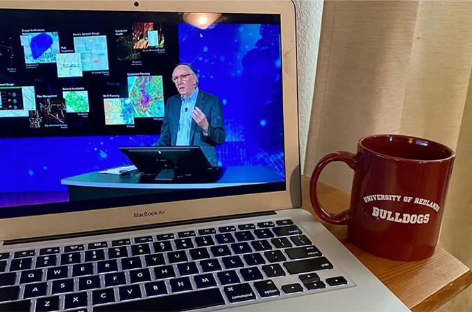
Moore notes that some events felt more personal online: “A highlight for me was how intimate it was. When he spoke, [Esri Co-founder and President Jack Dangermond] was in the auditorium on the Esri campus in Redlands alone. I went to the science symposium, which was a Zoom meeting. Instead of being in a large room with thousands of people, it felt like a smaller meeting with a presenter.”
Additionally, important discussions surrounding COVID-19 data collection and display abounded during the event. Moore says that tracking the virus is one of the biggest applications of GIS in recent memory and is something that the GIS community is proud of. During the conference, Johns Hopkins University received an award for using GIS to track the global spread of COVID-19 and reflecting that information in an ArcGIS operations dashboard.
School of Business Professor James Spee watched daily plenary sessions with his wife, Paige, who is a web content strategist for Esri, on their family room TV. “I am currently doing a research project with sustainable business student Makayla Sugidono ’21 that involves sustainability efforts at airports in California,” he says. “To help with our networking related to the project, I attended the meeting of the Aviation and Airport User Group. It was a great place to interact informally with airport facilities managers from around the world.”
After listening to presentations, attendees were given the ability to drop into the conference expo, where they could explore and learn about different organizations and institutions. The University of Redlands maintained a virtual booth to reconnect with alumni and publicize GIS offerings.
Looking forward, Moore notes that the virtual conference opens up a new realm of possibilities for the User Conference in the future. “The event enabled us to see how people can try to interact in a virtual world and the benefits and drawbacks of that experience,” he says. “Everyone is learning from the pandemic. While there has been a lot of knowledge gained, we’re all looking forward to seeing each other in person again.”
Learn more about GIS offerings at the University of Redlands.


