University of Redlands
 The goal of the R-Map project is to link the university’s disparate systems and databases using location/space to improve efficiency and decision-making.
Some examples include:
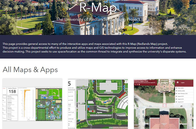
The R-Map (Redlands Map) project provides general access to many of the interactive apps and maps
which is a cross-departmental effort to produce and utilize maps and GIS technologies to improve access to information and enhance decision-making. This project seeks to use space/location as the common thread to integrate and synthesize the university's disparate systems.
Campus Land Cover Explorer - U of R Main Campus interactive map of various types of landcover including grass, dirt, buildings and paved areas.
Campus Parking – U of R Main Campus dashboard and map highlighting parking lots and spaces designated as reserved, visitor, and handicapped.
Campus Trees - U of R Main Campus interactive map of the campus trees and photographs. With more than 1,700 trees, the campus has received a Tree Campus USA recognition from the Arbor Day Foundation for its commitment to effective urban forest management and for engaging staff and students in conservation goals.
Facilities Management – U of R Main Campus interactive map of infrastructure and work orders. Used by Facilities Management. Requires a log in.
Marin Campus 360 Photo Map - U of R Marin Campus interactive map with points that you can click on to see the associated 360 images in a new tab.
Marin Campus 360 Photo Tour Map - U of R Marin Campus static map with pop-up photographs.
Marin Campus Infrastructure - U of R Marin Campus
Marin Campus Scene Viewer (3D) - U of R Marin Campus interactive 3D map overlaid with drone imagery from 2019.
Public Safety Map - U of R Main Campus interactive map with layers you can turn on/off including emergency phones, fire extinguishers, and evacuation areas.
Social Distancing Options - UoR Main Campus interactive map with 6- and 7-foot social distancing buffers. Give it a minute or two to load.
Sustainability in Facilities Management - UoR Main Campus StoryMap about the sustainability initiatives being undertaken by the University of Redlands.
U of R Drone Imagery Viewer - UoR Main Campus interactive map of drone imagery taken since August 2017
U of R Rail Platform Status Maps - UoR Main Campus interactive application using drone imagery showing the development progress for the planned U of R Rail Platform on E. Park Ave.
Wireless Access Point Status Dashboard - UoR Main Campus dashboard and map of current wireless access point locations and status information
The Center for Spatial Studies is also working the Alumni Association mapping students, alumni, and others affiliated with the University of Redlands to enhance outreach, event planning, & relationship management and the School of Education to look at the relationship, and a possible correlation, between the School's commitment to Educational Justice and the placement of student teachers. Variables from school performance indicators as well as demographic information can provide an overview of whether or not the School's student teachers are indeed going into communities with limited resources.