University of Redlands
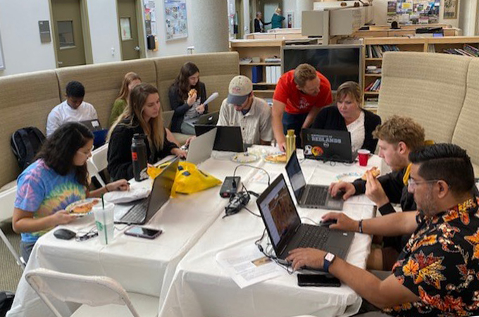 Our annual GIS Day Humanitarian Mapathon is always a big hit with participants and this year's virtual Mapathon should be no exception! The 2020 Mapathon will take place throughout the day on GIS Day (Wednesday Nov. 18) but you can join us live starting at 8:00 AM (pwd: urspatial) as we explain the project and some of the tools. If you are unable to tune in at 8, please join in and participate in our project by watching the video of our live session and checking out our mapping cheatsheet that we will post shortly after the session and then get busy mapping!