University of Redlands
The Department of Geographic Information Science at the University of Redlands offers you a personalized GIS graduate education in beautiful Redlands, California, home to the world's leading GIS company, Esri.
Our students include professionals currently employed in any field using geographic information and recent university graduates who would like to begin a career in a GIS-related field. With the balanced curriculum and strong technical support, the students gain substantial intellectual growth in an open learning environment. Many of our alumni are leading applications specialists, applications software developers, and project managers in various private and public organizations. The residential program also provides a great opportunity for building a strong professional network and everlasting friendships.
Students not only learn the critical theoretical foundations and the cutting-edge geospatial technologies, but also explore broader issues related to effective and appropriate application of the technology.
HOW TO APPLY
Being close to the headquarter of Esri, our students have access to extensive Esri resources including instructor-led trainings, experienced Esri faculty, Esri library access, and professional Esri conferences.
DISCOVER GIS SCHOLARSHIPS
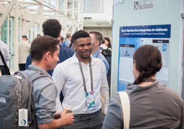
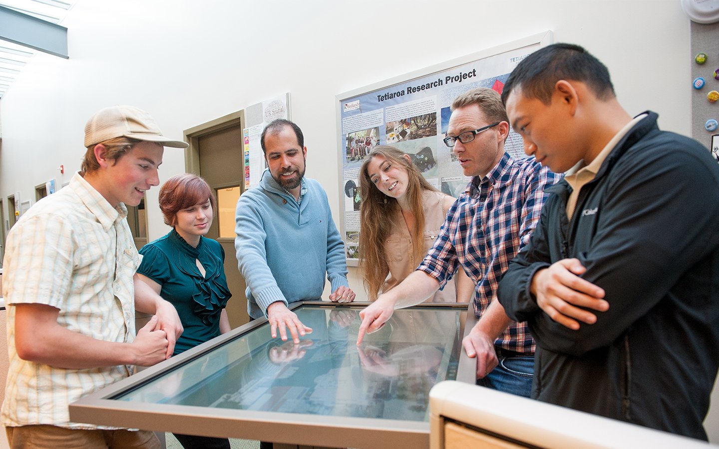
Our students put skills into practice through a Major Individual Project that addresses a real-world spatial problem for an external client or a professional GIS Internship, then make a formal presentation at a professional conference.
BROWSE PROJECT GALLERY
Each student works closely with a faculty member and an advisory committee. Besides the full-time faculty, students also learn from experienced adjunct faculty from Esri who have many years of experience in developing GIS.
REQUEST MORE INFORMATION
Our students have access to a wide range of GIS, image analysis, and cartographic design software, and receive strong technical support and consulting from the Center for Spatial Studies and the University ITS.
LEARN ABOUT TECHNOLOGY

We have maintained a cohesive community of students, alumni, and employers that fosters a close relationship and provides important career development for our students.
FIND OUT PEOPLE
Cohort 42 joined the Redlands community in August, 2022. Welcome onboard and wish everyone has a successful journey of learning GIS at Redlands.
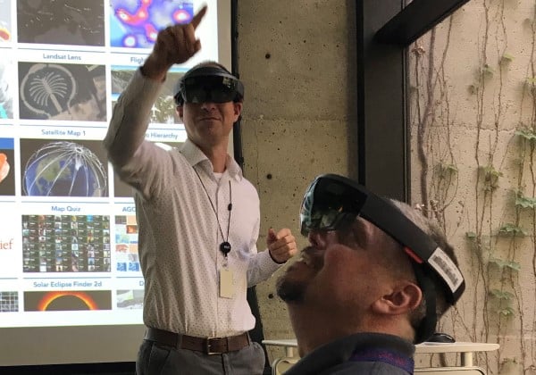
As a part of our GIS new student orientation, students have the opportunity to explore the latest technology development at Esri.
Congratulations, Cohort 40, for successfully completing your GIS journey at Redlands! Wish you all a bright GIS career!
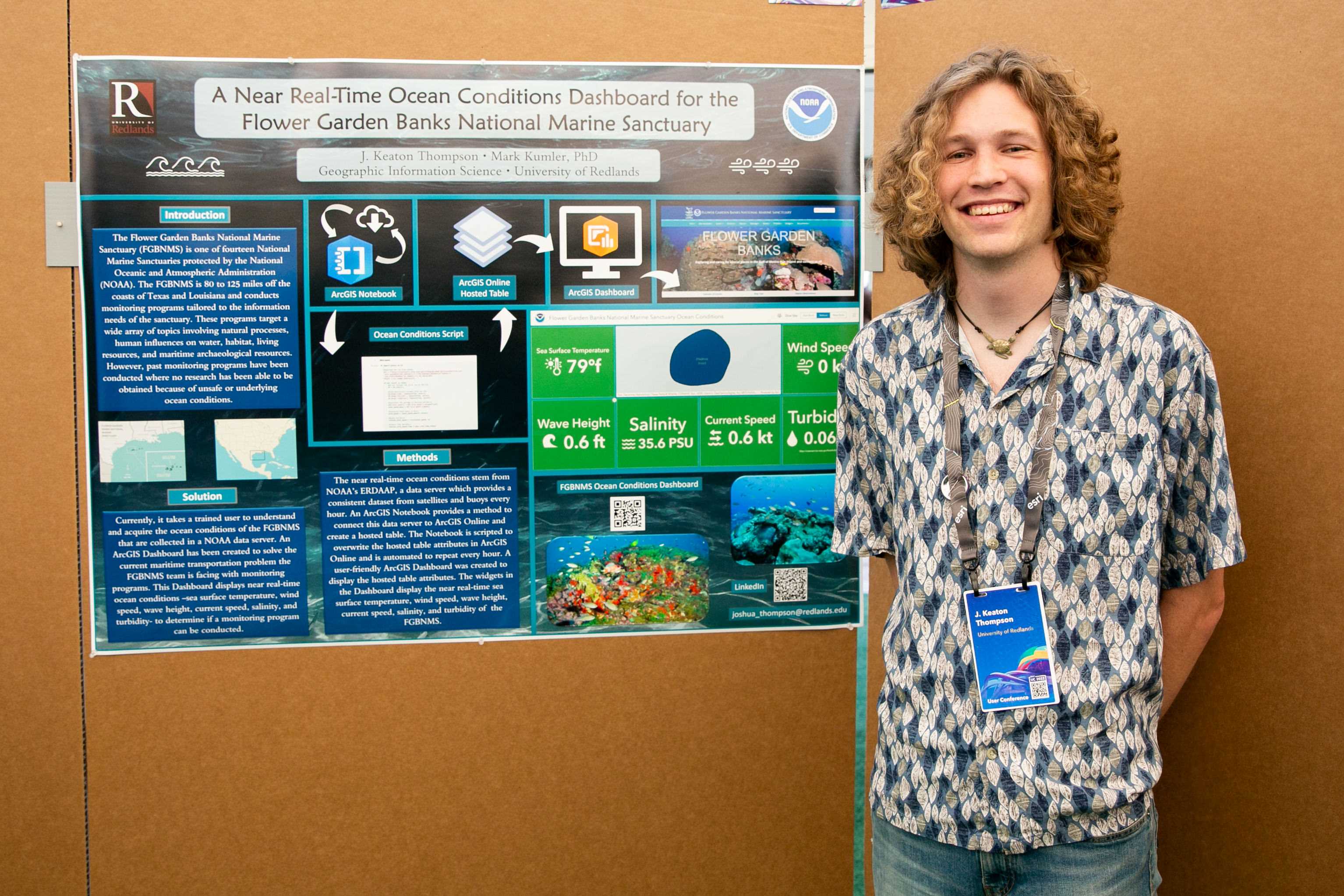
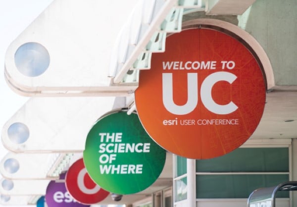
The GIS faculty and students attended the 2022 Esri UC. Keaton Thompson from the MS GIS Program presented his MIP at the Map Gallery.
The undergraduate GIS Pathway Program is receiving applications. All UR undergraduates who are interested in pursuing a Master's degree in GIS are encouraged to apply.
 “You get real life project training, instead of just doing a hypothetical thesis paper. I feel that project management experience puts me way ahead of other people applying for jobs.”
 "With Esri in Redlands—and access to their libraries and training—choosing the MS GIS program at University of Redlands is a no brainer."
 “I have been able to apply my new expertise to projects back home in Nigeria, and I am working on my Ph.D. in hydrology, looking at more water management issues.”


Email: gis@redlands.edu
Phone: (909) 748-8128
Fax: (909) 335-5388
University of Redlands
1200 E. Colton Avenue
P.O. Box 3080
Redlands, CA 92373-0999